Tropical Depression Nine in the Gulf of America; California October Heat Wave Continues

Tropical Depression Nine is forecast to track toward the central U.S. Gulf Coast while strengthening into a tropical storm by early Wednesday and a hurricane on Thursday. Stay tuned to forecast updates. Much higher than typical October temperatures will continue across much of California through midweek. Temperatures are forecast to gradually cool beginning Thursday in Coastal California. Read More >

Current conditions at

Ogden-Hinckley Airport (KOGD)

Lat: 41.19406°NLon: 112.01681°WElev: 4440.0ft.

Clear

80°F

27°C

Humidity 19%
Wind Speed NW 4 MPH
Barometer 30.14 in (1020.66 mb)
Dewpoint 35°F (2°C)
Visibility 10.00 mi
Heat Index79°F (26°C)
Last update 06 Oct 05:53 PM MDT
Extended Forecast for

Farmington UT

  • Tonight

    Tonight: Mostly clear, with a low around 57. Light east northeast wind.

    Low: 57 °F

    Mostly Clear

  • Wednesday

    Wednesday: Sunny, with a high near 78. Light and variable wind.

    High: 78 °F

    Sunny

  • Wednesday Night

    Wednesday Night: Mostly clear, with a low around 58. Calm wind becoming east around 5 mph after midnight.

    Low: 58 °F

    Mostly Clear

  • Thursday

    Thursday: Sunny, with a high near 78. East southeast wind around 5 mph becoming calm  in the morning.

    High: 78 °F

    Sunny

  • Thursday Night

    Thursday Night: Mostly clear, with a low around 58. Calm wind becoming east around 5 mph after midnight.

    Low: 58 °F

    Mostly Clear

  • Friday

    Friday: Sunny, with a high near 79.

    High: 79 °F

    Sunny

  • Friday Night

    Friday Night: Partly cloudy, with a low around 60.

    Low: 60 °F

    Partly Cloudy

  • Saturday

    Saturday: A chance of showers, with thunderstorms also possible after noon.  Partly sunny, with a high near 74.

    High: 74 °F

    Chance
    Showers

  • Saturday Night

    Saturday Night: Showers likely and possibly a thunderstorm.  Mostly cloudy, with a low around 53.

    Low: 53 °F

    Showers
    Likely

Detailed Forecast

Tonight
Mostly clear, with a low around 57. Light east northeast wind.
Wednesday
Sunny, with a high near 78. Light and variable wind.
Wednesday Night
Mostly clear, with a low around 58. Calm wind becoming east around 5 mph after midnight.
Thursday
Sunny, with a high near 78. East southeast wind around 5 mph becoming calm in the morning.
Thursday Night
Mostly clear, with a low around 58. Calm wind becoming east around 5 mph after midnight.
Friday
Sunny, with a high near 79.
Friday Night
Partly cloudy, with a low around 60.
Saturday
A chance of showers, with thunderstorms also possible after noon. Partly sunny, with a high near 74.
Saturday Night
Showers likely and possibly a thunderstorm. Mostly cloudy, with a low around 53.
Sunday
Showers likely and possibly a thunderstorm. Mostly cloudy, with a high near 62.
Sunday Night
Showers likely and possibly a thunderstorm. Mostly cloudy, with a low around 48.
Columbus Day
Showers and thunderstorms likely. Mostly cloudy, with a high near 59.
Monday Night
A chance of showers and thunderstorms. Mostly cloudy, with a low around 44.
Tuesday
A chance of showers and thunderstorms. Partly sunny, with a high near 57.
Basemap Options
Click map to change the forecast location
Loading map...

ABOUT THIS FORECAST

 
Point Forecast:
Farmington UT
 41.02°N 111.89°W (Elev. 5564 ft)
12:31 pm MDT Oct 6, 2026
6pm MDT Oct 6, 2026-6pm MDT Oct 13, 2026
 
Get as KML Get as XML

Additional Resources

Radar & Satellite Image
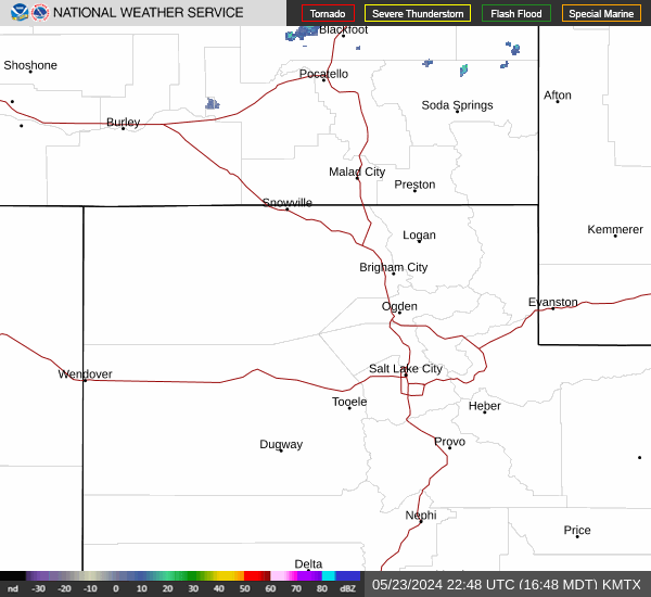
Link to Local Radar Data Link to Satellite Data

Hourly Weather Forecast

National Digital Forecast Database