Isaias Continues Moving Inland

Hurricane Isaias has made landfall near Destin, Florida and will continue to move inland overnight. Hurricane conditions are expected through early Saturday within the Hurricane Warning area. A life-threatening storm surge is expected from Dauphin Island, Alabama to Suwannee, Florida where a Storm Surge Warning remains in effect. Heavy rainfall to spread inland into the Southeast on Saturday. Read More >

Current conditions at

Morgantown Municipal-Hart Field (KMGW)

Lat: 39.65°NLon: 79.92°WElev: 1227ft.

Fair

53°F

12°C

Humidity 86%
Wind Speed Calm
Barometer 30.29 in (1025.5 mb)
Dewpoint 49°F (9°C)
Visibility 10.00 mi
Last update 10 Oct 12:53 am EDT
Extended Forecast for

Rowlesburg WV

Wind Advisory October 10, 08:00pm until October 11, 11:00am
Click here for hazard details and duration
Wind Advisory
  • Overnight

    Overnight: Mostly cloudy, with a low around 50. Calm wind.

    Low: 50 °F

    Mostly Cloudy

  • Saturday

    Saturday: Mostly cloudy, with a high near 66. Southeast wind 5 to 9 mph, with gusts as high as 23 mph.

    High: 66 °F

    Mostly Cloudy

  • Saturday Night

    Saturday Night: Showers likely, mainly after 4am.  Cloudy, with a low around 54. Southeast wind 13 to 16 mph, with gusts as high as 32 mph.  Chance of precipitation is 60%. New precipitation amounts between a tenth and quarter of an inch possible.

    Low: 54 °F

    Showers
    Likely

  • Sunday

    Sunday: Showers and thunderstorms, mainly before 4pm, then showers likely and possibly a thunderstorm after 5pm.  High near 66. East wind 9 to 16 mph, with gusts as high as 33 mph.  Chance of precipitation is 90%. New rainfall amounts between a quarter and half of an inch possible.

    High: 66 °F

    Showers then
    Showers
    Likely

  • Sunday Night

    Sunday Night: Showers and possibly a thunderstorm.  Patchy fog between midnight and 3am. Low around 57. South wind around 5 mph becoming calm  in the evening.  Chance of precipitation is 90%. New precipitation amounts between a quarter and half of an inch possible.

    Low: 57 °F

    Showers and
    Patchy Fog

  • Columbus Day

    Columbus Day: A chance of showers before 2pm.  Mostly cloudy, with a high near 66. Chance of precipitation is 40%. New precipitation amounts of less than a tenth of an inch possible.

    High: 66 °F

    Chance
    Showers

  • Monday Night

    Monday Night: Partly cloudy, with a low around 56.

    Low: 56 °F

    Partly Cloudy

  • Tuesday

    Tuesday: Mostly sunny, with a high near 74.

    High: 74 °F

    Mostly Sunny

  • Tuesday Night

    Tuesday Night: A chance of showers between 8pm and 2am.  Mostly cloudy, with a low around 53. Chance of precipitation is 40%.

    Low: 53 °F

    Chance
    Showers

Detailed Forecast

Overnight
Mostly cloudy, with a low around 50. Calm wind.
Saturday
Mostly cloudy, with a high near 66. Southeast wind 5 to 9 mph, with gusts as high as 23 mph.
Saturday Night
Showers likely, mainly after 4am. Cloudy, with a low around 54. Southeast wind 13 to 16 mph, with gusts as high as 32 mph. Chance of precipitation is 60%. New precipitation amounts between a tenth and quarter of an inch possible.
Sunday
Showers and thunderstorms, mainly before 4pm, then showers likely and possibly a thunderstorm after 5pm. High near 66. East wind 9 to 16 mph, with gusts as high as 33 mph. Chance of precipitation is 90%. New rainfall amounts between a quarter and half of an inch possible.
Sunday Night
Showers and possibly a thunderstorm. Patchy fog between midnight and 3am. Low around 57. South wind around 5 mph becoming calm in the evening. Chance of precipitation is 90%. New precipitation amounts between a quarter and half of an inch possible.
Columbus Day
A chance of showers before 2pm. Mostly cloudy, with a high near 66. Chance of precipitation is 40%. New precipitation amounts of less than a tenth of an inch possible.
Monday Night
Partly cloudy, with a low around 56.
Tuesday
Mostly sunny, with a high near 74.
Tuesday Night
A chance of showers between 8pm and 2am. Mostly cloudy, with a low around 53. Chance of precipitation is 40%.
Wednesday
A chance of showers after 2pm. Partly sunny, with a high near 66. Chance of precipitation is 30%.
Wednesday Night
A chance of showers. Mostly cloudy, with a low around 48. Chance of precipitation is 30%.
Thursday
A chance of showers. Partly sunny, with a high near 67. Chance of precipitation is 30%.
Thursday Night
A chance of showers. Mostly cloudy, with a low around 52. Chance of precipitation is 50%.
Friday
A chance of showers. Mostly cloudy, with a high near 65. Chance of precipitation is 50%.
Basemap Options
Click map to change the forecast location
Loading map...

ABOUT THIS FORECAST

 
Point Forecast:
Rowlesburg WV
 39.37°N 79.68°W (Elev. 2185 ft)
12:48 am EDT Oct 10, 2026
1am EDT Oct 10, 2026-6pm EDT Oct 16, 2026
 
Get as KML Get as XML

Additional Resources

Radar & Satellite Image
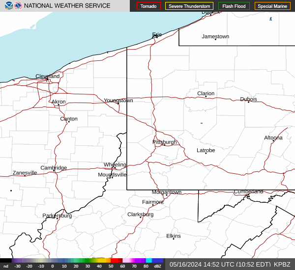
Link to Local Radar Data Link to Satellite Data

Hourly Weather Forecast

National Digital Forecast Database