Hazardous Weather Conditions
Current conditions at
BARON (RWBC1)
Lat: 38.85445°NLon: 120.02428°WElev: 6336.0ft.NA
51°F
11°C
| Humidity | 56% |
| Wind Speed | SSW 2 MPH |
| Barometer | NA |
| Dewpoint | 36°F (2°C) |
| Visibility | NA |
| Last update | 10 Oct 06:51 AM PDT |
Extended Forecast for
Meyers CA
Lake Wind Advisory until October 10, 11:00pm
NOW until 11:00pm Sat

Lake Wind Advisory
Today
High: 64 °F
Sunny
Tonight

Low: 37 °F
Mostly Clear
Sunday

High: 58 °F
Chance
ShowersSunday Night
Low: 30 °F
Showers
Likely then
Rain/Snow
LikelyColumbus Day

High: 47 °F
Rain/Snow
LikelyMonday Night

Low: 26 °F
Chance
Rain/SnowTuesday
High: 55 °F
Slight Chance
Rain/Snow
then SunnyTuesday Night
Low: 31 °F
Mostly Clear
Detailed Forecast
Today
Sunny, with a high near 64. Southwest wind 10 to 15 mph, with gusts as high as 30 mph.
Tonight
Mostly clear, with a low around 37. South wind 5 to 15 mph, with gusts as high as 40 mph.
Sunday
A 40 percent chance of showers after 11am. Snow level 9500 feet. Partly sunny, with a high near 58. Calm wind becoming south around 5 mph in the morning. Winds could gust as high as 20 mph.
Sunday Night
Rain showers likely before 2am, then rain and snow showers likely. Snow level 9200 feet lowering to 7300 feet after midnight . Mostly cloudy, with a low around 30. Southwest wind around 5 mph becoming calm in the evening. Chance of precipitation is 70%. New snow accumulation of less than a half inch possible.
Columbus Day
Rain and snow showers likely. Snow level 6800 feet rising to 7500 feet in the afternoon. Mostly cloudy, with a high near 47. Calm wind. Chance of precipitation is 70%. New snow accumulation of less than a half inch possible.
Monday Night
A chance of rain and snow showers before 5am, then a chance of snow showers. Snow level 7400 feet lowering to 6900 feet after midnight . Mostly cloudy, with a low around 26. Calm wind. Chance of precipitation is 50%. Little or no snow accumulation expected.
Tuesday
A slight chance of snow showers, mixing with rain after 8am, then gradually ending. Snow level 6700 feet rising to 8000 feet in the afternoon. Mostly sunny, with a high near 55. Chance of precipitation is 20%.
Tuesday Night
Mostly clear, with a low around 31.
Wednesday
Sunny, with a high near 61.
Wednesday Night
Mostly clear, with a low around 33.
Thursday
Sunny, with a high near 64.
Thursday Night
Mostly clear, with a low around 35.
Friday
Sunny, with a high near 69.
Additional Forecasts and Information
Basemap Options
Click map to change the forecast location
Loading map...
 Forecast Area
ABOUT THIS FORECAST
Point Forecast:
Meyers CA
38.86°N 120.03°W (Elev. 6398 ft)
38.86°N 120.03°W (Elev. 6398 ft)
4:30 am PDT Oct 10, 2026
7am PDT Oct 10, 2026-6pm PDT Oct 16, 2026


Additional Resources
Radar & Satellite Image
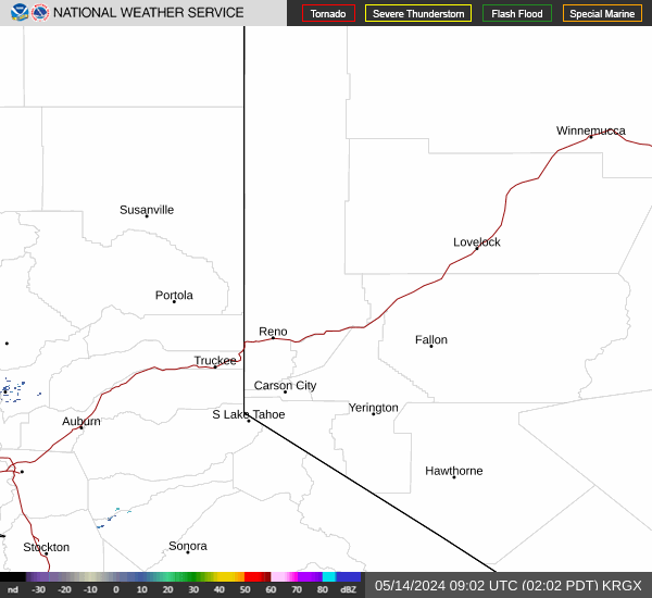

Hourly Weather Forecast