Hazardous Weather Conditions
Current conditions at
SR-224 at Meadows Drive (UT224)
Lat: 40.6757°NLon: 111.52115°WElev: 6697.0ft.no precip
38°F
3°C
| Humidity | 89% |
| Wind Speed | ESE 3 MPH |
| Barometer | NA |
| Dewpoint | 35°F (2°C) |
| Visibility | 10.00 mi |
| Last update | 09 Oct 04:00 AM MDT |
Extended Forecast for
8 Miles ENE Trial Lk UT
Today
High: 52 °F
Sunny then
Chance
ShowersTonight

Low: 40 °F
Slight Chance
ShowersSaturday
High: 45 °F
Showers
Likely then
ShowersSaturday Night

Low: 38 °F
Showers and
BreezySunday

High: 40 °F
Showers
Sunday Night
Low: 36 °F
Showers and
BreezyColumbus Day

High: 39 °F
Rain/Snow
Monday Night

Low: 30 °F
Rain/Snow and
BreezyTuesday
High: 33 °F
Rain/Snow
then Snow
Showers
Detailed Forecast
Today
A 30 percent chance of showers after noon. Mostly sunny, with a high near 52. South southeast wind 9 to 14 mph becoming southwest in the afternoon.
Tonight
A 20 percent chance of showers before 3am. Partly cloudy, with a low around 40. South wind 11 to 16 mph.
Saturday
Showers likely, then showers and possibly a thunderstorm after noon. High near 45. South southwest wind 16 to 18 mph, with gusts as high as 32 mph. Chance of precipitation is 90%. New rainfall amounts between a quarter and half of an inch possible.
Saturday Night
Showers and possibly a thunderstorm. Low around 38. Breezy, with a south wind 18 to 23 mph, with gusts as high as 39 mph. Chance of precipitation is 100%. New rainfall amounts between a quarter and half of an inch possible.
Sunday
Showers and possibly a thunderstorm before 9am, then showers between 9am and noon, then showers and possibly a thunderstorm after noon. High near 40. South wind 15 to 18 mph, with gusts as high as 31 mph. Chance of precipitation is 100%. New rainfall amounts between a half and three quarters of an inch possible.
Sunday Night
Showers and possibly a thunderstorm. Low around 36. Breezy. Chance of precipitation is 100%. New rainfall amounts between a quarter and half of an inch possible.
Columbus Day
Rain showers before 9am, then rain, possibly mixed with snow showers. Some thunder is also possible. High near 39. Chance of precipitation is 100%. Little or no snow accumulation expected.
Monday Night
Rain and snow showers. Some thunder is also possible. Cloudy, with a low around 30. Breezy.
Tuesday
Rain and snow showers, becoming all snow after 9am. Some thunder is also possible. Cloudy, with a high near 33.
Tuesday Night
Snow showers. Some thunder is also possible. Mostly cloudy, with a low around 26.
Wednesday
Snow showers likely. Some thunder is also possible. Mostly cloudy, with a high near 31.
Wednesday Night
A chance of snow showers. Mostly cloudy, with a low around 25.
Thursday
A chance of snow showers. Mostly sunny, with a high near 34.
Basemap Options
Click map to change the forecast location
Loading map...
 Forecast Area
ABOUT THIS FORECAST
Point Forecast:
8 Miles ENE Trial Lk UT
40.73°N 110.88°W (Elev. 10341 ft)
40.73°N 110.88°W (Elev. 10341 ft)
12:31 am MDT Oct 9, 2026
4am MDT Oct 9, 2026-6pm MDT Oct 15, 2026


Additional Resources
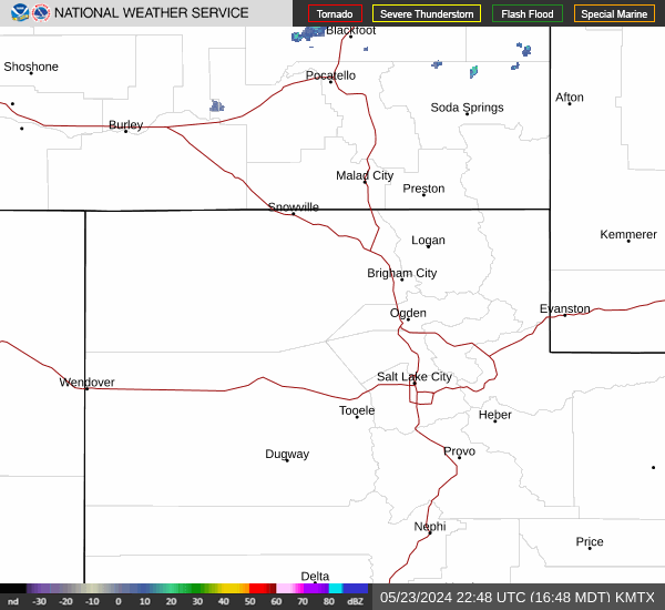
Radar & Satellite Image

Hourly Weather Forecast