Hazardous Weather Conditions
Current conditions at
Logan-Cache Airport (KLGU)
Lat: 41.78652°NLon: 111.85187°WElev: 4446.0ft.light rain,mist
43°F
6°C
| Humidity | 86% |
| Wind Speed | N 6 MPH |
| Barometer | 29.89 in (1012.19 mb) |
| Dewpoint | 39°F (4°C) |
| Visibility | 5.00 mi |
| Wind Chill | 39°F (4°C) |
| Last update | 12 Oct 10:15 AM MDT |
Extended Forecast for
Garden City UT
Flood Watch October 12, 10:32am until October 12, 06:00pm
NOW until 6:00pm Mon

Flood Watch
Columbus Day

High: 53 °F
Showers
Tonight
Low: 34 °F
Showers then
Rain/Snow
LikelyTuesday
High: 47 °F
Showers
Tuesday Night
Low: 31 °F
Showers
Likely then
Scattered
Rain/SnowWednesday
High: 50 °F
Scattered
Rain/Snow
then Isolated
ShowersWednesday Night

Low: 30 °F
Partly Cloudy
Thursday

High: 55 °F
Sunny
Thursday Night

Low: 32 °F
Mostly Clear
Detailed Forecast
Columbus Day
Showers and possibly a thunderstorm. High near 53. South southwest wind 5 to 9 mph. Chance of precipitation is 90%. New rainfall amounts between a tenth and quarter of an inch, except higher amounts possible in thunderstorms.
Tonight
Rain showers before 3am, then scattered rain and snow showers. Some thunder is also possible. Low around 34. South wind around 6 mph. Chance of precipitation is 90%. Little or no snow accumulation expected.
Tuesday
Showers, with thunderstorms also possible after noon. High near 47. South southwest wind 5 to 7 mph becoming north in the morning. Chance of precipitation is 90%. New rainfall amounts between a quarter and half of an inch possible.
Tuesday Night
Rain showers likely before 3am, then scattered rain and snow showers. Mostly cloudy, with a low around 31. West northwest wind around 9 mph. Chance of precipitation is 70%. Little or no snow accumulation expected.
Wednesday
Scattered rain and snow showers before noon, then a slight chance of rain showers. Partly sunny, with a high near 50. North northwest wind around 6 mph. Chance of precipitation is 40%. Little or no snow accumulation expected.
Wednesday Night
Partly cloudy, with a low around 30.
Thursday
Sunny, with a high near 55.
Thursday Night
Mostly clear, with a low around 32.
Friday
Sunny, with a high near 57.
Friday Night
Clear, with a low around 33.
Saturday
Sunny, with a high near 60.
Saturday Night
Mostly clear, with a low around 35.
Sunday
Sunny, with a high near 62.
Basemap Options
Click map to change the forecast location
Loading map...
 Forecast Area
ABOUT THIS FORECAST
Point Forecast:
Garden City UT
41.94°N 111.39°W (Elev. 5971 ft)
41.94°N 111.39°W (Elev. 5971 ft)
12:31 am MDT Oct 12, 2026
10am MDT Oct 12, 2026-6pm MDT Oct 18, 2026


Additional Resources
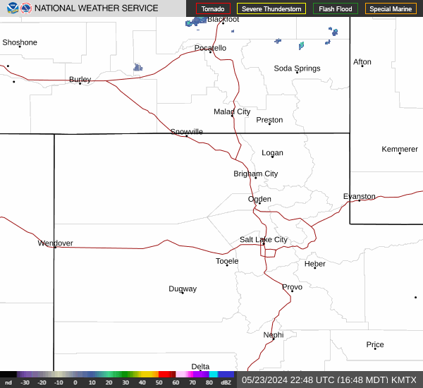
Radar & Satellite Image

Hourly Weather Forecast