Current conditions at
BOULDER CREEK (BOFO3)
Lat: 44.72194°NLon: 122.00306°WElev: 3543.0ft.NA
37°F
3°C
| Humidity | 100% |
| Wind Speed | NNE 0 MPH |
| Barometer | NA |
| Dewpoint | 37°F (3°C) |
| Visibility | NA |
| Last update | 14 Oct 07:58 AM PDT |
Extended Forecast for
7 Miles WSW Marion Forks OR
Today

High: 57 °F
Sunny
Tonight
Low: 43 °F
Clear then
Mostly Clear
and BreezyThursday
High: 61 °F
Sunny and
Breezy then
SunnyThursday Night

Low: 43 °F
Mostly Clear
and BreezyFriday
High: 68 °F
Sunny
Friday Night

Low: 43 °F
Partly Cloudy
Saturday

High: 49 °F
Partly Sunny
Saturday Night
Low: 34 °F
Partly Cloudy
Sunday

High: 50 °F
Mostly Sunny
Detailed Forecast
Today
Sunny, with a high near 57. Light and variable wind.
Tonight
Mostly clear, with a low around 43. Breezy, with a light northeast wind becoming east 11 to 16 mph in the evening. Winds could gust as high as 20 mph.
Thursday
Sunny, with a high near 61. Breezy, with an east southeast wind 7 to 16 mph, with gusts as high as 25 mph.
Thursday Night
Mostly clear, with a low around 43. Breezy, with an east southeast wind 7 to 16 mph, with gusts as high as 24 mph.
Friday
Sunny, with a high near 68. East southeast wind 9 to 14 mph becoming light and variable in the morning.
Friday Night
Partly cloudy, with a low around 43.
Saturday
Partly sunny, with a high near 49.
Saturday Night
Partly cloudy, with a low around 34.
Sunday
Mostly sunny, with a high near 50.
Sunday Night
Mostly cloudy, with a low around 35.
Monday
A chance of rain. Snow level 6000 feet. Mostly cloudy, with a high near 41.
Monday Night
A chance of rain. Snow level 6200 feet lowering to 5600 feet after midnight . Mostly cloudy, with a low around 34.
Tuesday
A chance of rain. Snow level 5800 feet. Partly sunny, with a high near 43.
Additional Forecasts and Information
Basemap Options
Click map to change the forecast location
Loading map...
 Forecast Area
ABOUT THIS FORECAST
Point Forecast:
7 Miles WSW Marion Forks OR
44.56°N 122.08°W (Elev. 4432 ft)
44.56°N 122.08°W (Elev. 4432 ft)
8:41 am PDT Oct 14, 2026
9am PDT Oct 14, 2026-6pm PDT Oct 20, 2026


Additional Resources
Radar & Satellite Image
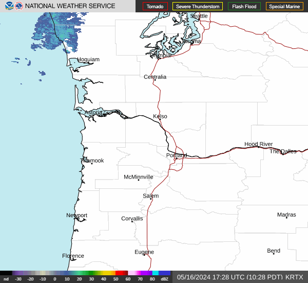

Hourly Weather Forecast