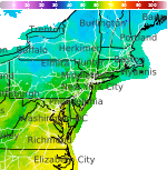
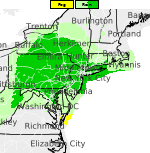
Heavy Rainfall Threat Continues in the Southwest on Monday; Record Warmth in the Plains and Midwest

Remnant moisture from Tropical Storm Rachel will persist over portions of the Great Basin and Southwest on Monday, bringing a potential heavy to excessive rainfall risk. Well above average and potentially record breaking temperatures will develop across the Plains and Midwest early this week, spreading into the Lower Mississippi Valley and Southeast midweek. Read More >

Hazardous Weather Conditions

Current conditions at

Culpeper Regional Airport (KCJR)

Lat: 38.53°NLon: 77.86°WElev: 295ft.

Rain

61°F

16°C

Humidity 91%
Wind Speed NW 5 mph
Barometer 29.76 in
Dewpoint 58°F (14°C)
Visibility 7.00 mi
Last update 12 Oct 1:55 am EDT
Extended Forecast for

2 Miles NW Sumerduck VA

  • Overnight

    Overnight: Showers likely, mainly before 4am.  Patchy fog.  Otherwise, cloudy, with a low around 60. Northwest wind around 8 mph, with gusts as high as 20 mph.  Chance of precipitation is 60%. New precipitation amounts of less than a tenth of an inch possible.

    Low: 60 °F

    Showers
    Likely and
    Patchy Fog

  • Columbus Day

    Columbus Day: A chance of showers before 7am.  Partly sunny, with a high near 75. North wind 9 to 13 mph, with gusts as high as 24 mph.  Chance of precipitation is 30%.

    High: 75 °F

    Chance
    Showers then
    Partly Sunny

  • Monday Night

    Monday Night: Patchy fog after 4am.  Otherwise, increasing clouds, with a low around 54. Calm wind.

    Low: 54 °F

    Mostly Clear
    then Patchy
    Fog

  • Tuesday

    Tuesday: Patchy fog before 8am.  Otherwise, mostly cloudy through mid morning, then gradual clearing, with a high near 81. Calm wind becoming south around 6 mph in the afternoon.

    High: 81 °F

    Patchy Fog
    then Sunny

  • Tuesday Night

    Tuesday Night: Mostly clear, with a low around 61. Light southwest wind.

    Low: 61 °F

    Mostly Clear

  • Wednesday

    Wednesday: Sunny, with a high near 85.

    High: 85 °F

    Sunny

  • Wednesday Night

    Wednesday Night: Partly cloudy, with a low around 61.

    Low: 61 °F

    Partly Cloudy

  • Thursday

    Thursday: A slight chance of showers.  Partly sunny, with a high near 72. Chance of precipitation is 20%.

    High: 72 °F

    Slight Chance
    Showers

  • Thursday Night

    Thursday Night: A chance of showers, mainly after 2am.  Mostly cloudy, with a low around 57. Chance of precipitation is 30%.

    Low: 57 °F

    Chance
    Showers

Detailed Forecast

Overnight
Showers likely, mainly before 4am. Patchy fog. Otherwise, cloudy, with a low around 60. Northwest wind around 8 mph, with gusts as high as 20 mph. Chance of precipitation is 60%. New precipitation amounts of less than a tenth of an inch possible.
Columbus Day
A chance of showers before 7am. Partly sunny, with a high near 75. North wind 9 to 13 mph, with gusts as high as 24 mph. Chance of precipitation is 30%.
Monday Night
Patchy fog after 4am. Otherwise, increasing clouds, with a low around 54. Calm wind.
Tuesday
Patchy fog before 8am. Otherwise, mostly cloudy through mid morning, then gradual clearing, with a high near 81. Calm wind becoming south around 6 mph in the afternoon.
Tuesday Night
Mostly clear, with a low around 61. Light southwest wind.
Wednesday
Sunny, with a high near 85.
Wednesday Night
Partly cloudy, with a low around 61.
Thursday
A slight chance of showers. Partly sunny, with a high near 72. Chance of precipitation is 20%.
Thursday Night
A chance of showers, mainly after 2am. Mostly cloudy, with a low around 57. Chance of precipitation is 30%.
Friday
A chance of showers, mainly after 2pm. Mostly cloudy, with a high near 75. Chance of precipitation is 40%.
Friday Night
A chance of showers. Mostly cloudy, with a low around 47. Chance of precipitation is 30%.
Saturday
Mostly sunny, with a high near 57.
Saturday Night
Partly cloudy, with a low around 36.
Sunday
Sunny, with a high near 56.
Basemap Options
Click map to change the forecast location
Loading map...

ABOUT THIS FORECAST

 
Point Forecast:
2 Miles NW Sumerduck VA
 38.47°N 77.75°W (Elev. 299 ft)
10:53 pm EDT Oct 11, 2026
2am EDT Oct 12, 2026-6pm EDT Oct 18, 2026
 
Get as KML Get as XML

Additional Resources

Radar & Satellite Image
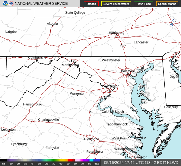
Link to Local Radar Data Link to Satellite Data

Hourly Weather Forecast

National Digital Forecast Database