Current conditions at
Franklin County State Airport (KFSO)
Lat: 44.94°NLon: 73.1°WElev: 228ft.N/A
| Humidity | NA |
| Wind Speed | NA |
| Barometer | NA |
| Dewpoint | N/A |
| Visibility | NA |
| Last update | *** Not a current observation *** |
Extended Forecast for
4 Miles NNW Fairfax VT
Today

High: 62 °F
Increasing
CloudsTonight

Low: 46 °F
Chance
ShowersColumbus Day
High: 63 °F
Mostly Cloudy
then Chance
ShowersMonday Night
Low: 46 °F
Chance
Showers then
ShowersTuesday

High: 60 °F
Showers
Tuesday Night

Low: 43 °F
Showers
Wednesday
High: 54 °F
Showers
Likely then
Chance
ShowersWednesday Night

Low: 37 °F
Mostly Cloudy
Thursday

High: 53 °F
Mostly Sunny
Detailed Forecast
Today
Increasing clouds, with a high near 62. South wind 8 to 10 mph, with gusts as high as 25 mph.
Tonight
A 50 percent chance of showers, mainly after 10pm. Cloudy, with a low around 46. South wind 3 to 8 mph. New precipitation amounts of less than a tenth of an inch possible.
Columbus Day
A 30 percent chance of showers, mainly after 5pm. Cloudy, with a high near 63. Calm wind becoming northwest around 5 mph in the afternoon. New precipitation amounts of less than a tenth of an inch possible.
Monday Night
Showers, mainly after 2am. Low around 46. Light north wind. Chance of precipitation is 80%. New precipitation amounts between a tenth and quarter of an inch possible.
Tuesday
Showers. High near 60. South wind 7 to 11 mph, with gusts as high as 24 mph. Chance of precipitation is 90%. New precipitation amounts between a quarter and half of an inch possible.
Tuesday Night
Showers. Low around 43. South wind 7 to 11 mph becoming west after midnight. Winds could gust as high as 24 mph. Chance of precipitation is 90%. New precipitation amounts between a quarter and half of an inch possible.
Wednesday
Showers likely, mainly before 8am. Mostly cloudy, with a high near 54. Northwest wind 5 to 7 mph. Chance of precipitation is 60%.
Wednesday Night
Mostly cloudy, with a low around 37. Northwest wind around 6 mph.
Thursday
Mostly sunny, with a high near 53. Northwest wind 6 to 9 mph.
Thursday Night
Partly cloudy, with a low around 34. Light and variable wind.
Friday
Showers likely. Mostly cloudy, with a high near 55. South wind 8 to 11 mph, with gusts as high as 26 mph. Chance of precipitation is 60%.
Friday Night
Showers likely. Mostly cloudy, with a low around 36. South wind 10 to 14 mph becoming west after midnight. Winds could gust as high as 29 mph. Chance of precipitation is 70%.
Saturday
A 50 percent chance of showers. Mostly cloudy, with a high near 48. Northwest wind 10 to 14 mph, with gusts as high as 24 mph.
Additional Forecasts and Information
Basemap Options
Click map to change the forecast location
Loading map...
 Forecast Area
ABOUT THIS FORECAST
Point Forecast:
4 Miles NNW Fairfax VT
44.73°N 73.05°W (Elev. 604 ft)
44.73°N 73.05°W (Elev. 604 ft)
2:19 am EDT Oct 11, 2026
8am EDT Oct 11, 2026-6pm EDT Oct 17, 2026


Additional Resources
Radar & Satellite Image
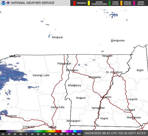

Hourly Weather Forecast