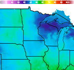
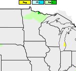
Heavy to Excessive Rainfall This Week from the Southwest into Central U.S.
Pacific tropical moisture wrapping into a storm over the southwest U.S. will continue a multi-day heavy rainfall event this week that will extend into the Midwest and southern Plains. Considerable flash flooding is possible across portions of New Mexico and west Texas today through Wednesday. Read More >

Hazardous Weather Conditions
Current conditions at
Lewis University Airport (KLOT)
Lat: 41.6°NLon: 88.1°WElev: 669ft.
Fair
79°F
26°C
| Humidity | 39% |
| Wind Speed | S 6 G 13 mph |
| Barometer | 29.97 in |
| Dewpoint | 52°F (11°C) |
| Visibility | 10.00 mi |
| Heat Index | 79°F (26°C) |
| Last update | 29 Sep 2:45 pm CDT |
Extended Forecast for
Lemont IL
This Afternoon

High: 77 °F
Partly Sunny
Tonight

Low: 63 °F
Mostly Cloudy
Wednesday

High: 65 °F
Showers
Wednesday Night

Low: 65 °F
Showers
LikelyThursday
High: 72 °F
Showers
Likely then
ShowersThursday Night

Low: 59 °F
Showers
Friday

High: 66 °F
Chance
ShowersFriday Night

Low: 48 °F
Mostly Clear
Saturday

High: 65 °F
Sunny
Detailed Forecast
This Afternoon
Partly sunny, with a high near 77. South southwest wind around 5 mph, with gusts as high as 10 mph.
Tonight
Mostly cloudy, with a low around 63. South wind 5 to 10 mph, with gusts as high as 15 mph.
Wednesday
Showers. Steady temperature around 65. South wind around 10 mph, with gusts as high as 20 mph. Chance of precipitation is 80%. New precipitation amounts between a quarter and half of an inch possible.
Wednesday Night
Showers likely and possibly a thunderstorm before 7pm, then a chance of showers and thunderstorms after 7pm. Cloudy, with a low around 65. South southwest wind 5 to 10 mph, with gusts as high as 15 mph. Chance of precipitation is 60%.
Thursday
Showers likely and possibly a thunderstorm before 1pm, then showers between 1pm and 4pm, then showers and possibly a thunderstorm after 4pm. High near 72. Southwest wind around 5 mph, with gusts as high as 10 mph. Chance of precipitation is 90%.
Thursday Night
Showers and possibly a thunderstorm. Low around 59. Chance of precipitation is 90%.
Friday
A 30 percent chance of showers before 1pm. Partly sunny, with a high near 66.
Friday Night
Mostly clear, with a low around 48.
Saturday
Sunny, with a high near 65.
Saturday Night
Partly cloudy, with a low around 48.
Sunday
Mostly sunny, with a high near 67.
Sunday Night
Mostly clear, with a low around 46.
Monday
Sunny, with a high near 63.
Additional Forecasts and Information
Basemap Options
Click map to change the forecast location
Loading map...
 Forecast Area
ABOUT THIS FORECAST
Point Forecast:
Lemont IL
41.67°N 87.98°W
41.67°N 87.98°W
3:01 pm CDT Sep 29, 2026
3pm CDT Sep 29, 2026-6pm CDT Oct 5, 2026


Additional Resources
Radar & Satellite Image
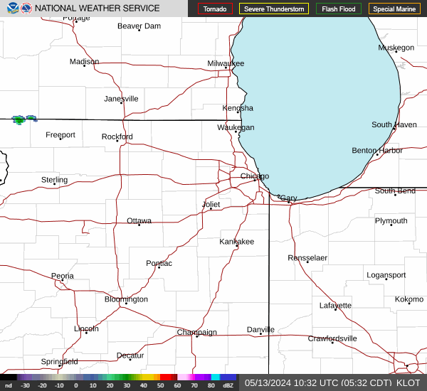

Hourly Weather Forecast