


News Headlines

Hazardous Weather Conditions
Current conditions at
Yuma, Marine Corps Air Station (KNYL)
Lat: 32.65944°NLon: 114.59306°WElev: 207.0ft.
Partly Cloudy
108°F
42°C
| Humidity | 19% |
| Wind Speed | NA 3 MPH |
| Barometer | 29.82 in (1009.82 mb) |
| Dewpoint | 59°F (15°C) |
| Visibility | 10.00 mi |
| Heat Index | 108°F (42°C) |
| Last update | 08 Sep 01:57 PM MST |
Extended Forecast for
5 Miles N San Luis AZ
Extreme Heat Warning September 8, 02:52pm until September 11, 08:00pm
NOW until 8:00pm Fri

Extreme Heat Warning
This Afternoon
High: 109 °F
Sunny
Tonight

Low: 87 °F
Partly Cloudy
Wednesday
High: 108 °F
Mostly Sunny
and Breezy
then Mostly
SunnyWednesday Night

Low: 86 °F
Mostly Clear
Thursday
High: 109 °F
Sunny
Thursday Night
Low: 86 °F
Mostly Clear
Friday

High: 108 °F
Sunny and
BreezyFriday Night

Low: 85 °F
Mostly Clear
and Breezy
Detailed Forecast
This Afternoon
Sunny, with a high near 109. Northwest wind around 5 mph.
Tonight
Partly cloudy, with a low around 87. South southeast wind 5 to 10 mph, with gusts as high as 20 mph.
Wednesday
Mostly sunny, with a high near 108. Heat index values as high as 116. Breezy, with a south wind 5 to 15 mph.
Wednesday Night
Mostly clear, with a low around 86. South wind 5 to 10 mph.
Thursday
Sunny, with a high near 109. South wind around 10 mph.
Thursday Night
Mostly clear, with a low around 86. South southeast wind around 10 mph, with gusts as high as 20 mph.
Friday
Sunny, with a high near 108. Breezy, with a south wind 10 to 15 mph, with gusts as high as 25 mph.
Friday Night
Mostly clear, with a low around 85. Breezy, with a south southeast wind 10 to 15 mph, with gusts as high as 25 mph.
Saturday
Sunny, with a high near 106. Breezy, with a south wind around 15 mph, with gusts as high as 25 mph.
Saturday Night
Clear, with a low around 83. Breezy, with a south wind 5 to 15 mph, with gusts as high as 20 mph.
Sunday
Sunny, with a high near 105. South wind 5 to 10 mph, with gusts as high as 20 mph.
Sunday Night
Clear, with a low around 82. South wind 5 to 10 mph.
Monday
Sunny, with a high near 103. Breezy, with a south southeast wind 10 to 15 mph, with gusts as high as 25 mph.
Basemap Options
Click map to change the forecast location
Loading map...
 Forecast Area
ABOUT THIS FORECAST
Point Forecast:
5 Miles N San Luis AZ
32.55°N 114.78°W (Elev. 89 ft)
32.55°N 114.78°W (Elev. 89 ft)
11:47 am MST Sep 8, 2026
2pm MST Sep 8, 2026-6pm MST Sep 14, 2026


Additional Resources
Radar & Satellite Image
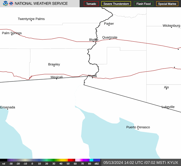

Hourly Weather Forecast


