News Headlines

Current conditions at
Mesa / Falcon Field (KFFZ)
Lat: 33.46667°NLon: 111.73333°WElev: 1391.0ft.
Clear
68°F
20°C
| Humidity | 56% |
| Wind Speed | NNE 6 MPH |
| Barometer | 30.0 in (1015.92 mb) |
| Dewpoint | 52°F (11°C) |
| Visibility | 10.00 mi |
| Last update | 19 Oct 07:50 AM MST |
Extended Forecast for
2 Miles WNW Tortilla Flat AZ
Today

High: 85 °F
Slight Chance
T-stormsTonight

Low: 65 °F
Mostly Clear
Tuesday

High: 88 °F
Increasing
CloudsTuesday Night

Low: 68 °F
Showers
LikelyWednesday

High: 84 °F
Showers
Wednesday Night

Low: 65 °F
Showers
Thursday
High: 76 °F
Showers
Thursday Night
Low: 58 °F
Chance
Showers then
Slight Chance
ShowersFriday

High: 73 °F
Sunny
Detailed Forecast
Today
A slight chance of showers and thunderstorms before 1pm, then a slight chance of showers and thunderstorms after 2pm. Mostly sunny, with a high near 85. East wind 5 to 10 mph becoming light and variable in the afternoon. Chance of precipitation is 20%.
Tonight
Mostly clear, with a low around 65. Calm wind becoming east around 5 mph in the evening.
Tuesday
Increasing clouds, with a high near 88. East northeast wind 5 to 10 mph becoming south southeast in the afternoon.
Tuesday Night
A chance of showers and thunderstorms, then showers likely and possibly a thunderstorm after 11pm. Mostly cloudy, with a low around 68. Calm wind becoming east northeast around 5 mph in the evening. Chance of precipitation is 70%. New rainfall amounts of less than a tenth of an inch, except higher amounts possible in thunderstorms.
Wednesday
Showers and possibly a thunderstorm. High near 84. East northeast wind 5 to 10 mph. Chance of precipitation is 90%. New rainfall amounts between a quarter and half of an inch possible.
Wednesday Night
Showers and possibly a thunderstorm. Low around 65. East northeast wind around 5 mph. Chance of precipitation is 90%. New rainfall amounts between a half and three quarters of an inch possible.
Thursday
Showers and possibly a thunderstorm. High near 76. East southeast wind 5 to 10 mph becoming southwest in the afternoon. Chance of precipitation is 90%. New rainfall amounts between a half and three quarters of an inch possible.
Thursday Night
A chance of showers and thunderstorms before 11pm, then a slight chance of showers. Partly cloudy, with a low around 58. Southwest wind around 5 mph becoming calm in the evening. Chance of precipitation is 50%. New precipitation amounts of less than a tenth of an inch, except higher amounts possible in thunderstorms.
Friday
Sunny, with a high near 73. East northeast wind around 5 mph becoming calm.
Friday Night
Clear, with a low around 54. Calm wind becoming east northeast around 5 mph after midnight.
Saturday
Sunny, with a high near 76. East northeast wind around 5 mph becoming calm in the morning.
Saturday Night
Mostly clear, with a low around 56. Breezy, with a north wind 5 to 10 mph becoming east northeast 10 to 15 mph after midnight. Winds could gust as high as 20 mph.
Sunday
Sunny, with a high near 79. Breezy, with an east northeast wind 10 to 15 mph becoming light east in the afternoon. Winds could gust as high as 20 mph.
Basemap Options
Click map to change the forecast location
Loading map...
 Forecast Area
ABOUT THIS FORECAST
Point Forecast:
2 Miles WNW Tortilla Flat AZ
33.54°N 111.43°W (Elev. 1798 ft)
33.54°N 111.43°W (Elev. 1798 ft)
3:56 am MST Oct 19, 2026
8am MST Oct 19, 2026-6pm MST Oct 25, 2026


Additional Resources
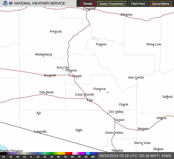
Radar & Satellite Image

Hourly Weather Forecast