

Heavy Rainfall and Flooding Threats in the Midwest and Ohio Valley; Heat Continues in the Plains and Southeast

An active pattern will continue to bring heavy to excessive rainfall and flash flooding threats to the Midwest and Ohio Valley over the next couple of days. Dangerous heat continues across the central/southern Plains and Southeast U.S. into next week. There is potential for record-tying/breaking temperatures with many areas forecast to see their hottest temperatures so far this year. Read More >

Current conditions at

COTTAGE (STUC1)

Lat: 38.34587°NLon: 120.22952°WElev: 6064.0ft.

NA

73°F

23°C

Humidity 42%
Wind Speed S 12 MPH
Barometer NA
Dewpoint 48°F (9°C)
Visibility NA
Last update 13 Aug 12:54 PM PDT
Extended Forecast for

11 Miles SSW Ebbets Pass CA

Red Flag Warning August 13, 01:40pm until August 13, 09:00pm
Click here for hazard details and duration
Red Flag Warning
  •  
    Red Flag Warning August 13, 01:40pm until August 13, 09:00pm

    NOW until 9:00pm Thu

    Red Flag Warning

  • This Afternoon

    High: 59 °F

    Chance
    T-storms

  • Tonight

    Tonight: A 20 percent chance of showers and thunderstorms before 8pm.  Mostly clear, with a low around 49. Southwest wind 5 to 7 mph becoming calm  after midnight.

    Low: 49 °F

    Slight Chance
    T-storms then
    Mostly Clear

  • Friday

    Friday: Sunny, with a high near 63. Light and variable wind becoming southwest 5 to 10 mph in the morning. Winds could gust as high as 18 mph.

    High: 63 °F

    Sunny

  • Friday Night

    Friday Night: Mostly clear, with a low around 48. Southwest wind 5 to 8 mph becoming calm  after midnight.

    Low: 48 °F

    Mostly Clear

  • Saturday

    Saturday: Sunny, with a high near 65. Light and variable wind becoming southwest 5 to 10 mph in the afternoon. Winds could gust as high as 18 mph.

    High: 65 °F

    Sunny

  • Saturday Night

    Saturday Night: Mostly clear, with a low around 49.

    Low: 49 °F

    Mostly Clear

  • Sunday

    Sunday: Sunny, with a high near 67.

    High: 67 °F

    Sunny

  • Sunday Night

    Sunday Night: Partly cloudy, with a low around 52.

    Low: 52 °F

    Partly Cloudy

Detailed Forecast

This Afternoon
A 50 percent chance of showers and thunderstorms. Partly sunny, with a steady temperature around 59. Southwest wind around 9 mph. New rainfall amounts of less than a tenth of an inch, except higher amounts possible in thunderstorms.
Tonight
A 20 percent chance of showers and thunderstorms before 8pm. Mostly clear, with a low around 49. Southwest wind 5 to 7 mph becoming calm after midnight.
Friday
Sunny, with a high near 63. Light and variable wind becoming southwest 5 to 10 mph in the morning. Winds could gust as high as 18 mph.
Friday Night
Mostly clear, with a low around 48. Southwest wind 5 to 8 mph becoming calm after midnight.
Saturday
Sunny, with a high near 65. Light and variable wind becoming southwest 5 to 10 mph in the afternoon. Winds could gust as high as 18 mph.
Saturday Night
Mostly clear, with a low around 49.
Sunday
Sunny, with a high near 67.
Sunday Night
Partly cloudy, with a low around 52.
Monday
Mostly sunny, with a high near 66.
Monday Night
Mostly cloudy, with a low around 51.
Tuesday
Partly sunny, with a high near 65.
Tuesday Night
Partly cloudy, with a low around 52.
Wednesday
Mostly sunny, with a high near 66.
Basemap Options
Click map to change the forecast location
Loading map...

ABOUT THIS FORECAST

 
Point Forecast:
11 Miles SSW Ebbets Pass CA
 38.39°N 119.89°W (Elev. 8094 ft)
11:31 am PDT Aug 13, 2026
1pm PDT Aug 13, 2026-6pm PDT Aug 19, 2026
 
Get as KML Get as XML

Additional Resources

Radar & Satellite Image
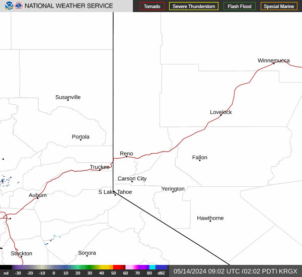
Link to Local Radar Data Link to Satellite Data

Hourly Weather Forecast

National Digital Forecast Database


