



Dangerous Heat in the Southwest; Severe Thunderstorms and Heavy Rain in the Northeast and Mid-Atlantic
Dangerous heat will persist across the Southwest U.S. through Friday with daytime highs of 110-115°F. Heat across the southern Plains will briefly ease to near-normal by late week. Strong to severe thunderstorms may produce damaging wind, hail, a tornado or two, heavy rain and flash flooding across parts of the Mid-Atlantic and Northeast. Heavy rainfall threat continues across the Gulf Coast. Read More >

BALD MTN LOC (BDMC1)
Lat: 38.90417°NLon: 120.70522°WElev: 4613.0ft.NA
84°F
29°C
| Humidity | 18% |
| Wind Speed | SW 4 MPH |
| Barometer | NA |
| Dewpoint | 36°F (2°C) |
| Visibility | NA |
| Heat Index | 81°F (27°C) |
| Last update | 27 Aug 03:36 PM PDT |
11 Miles E Placerville CA
This Afternoon

High: 85 °F
Slight Chance
RainTonight

Low: 65 °F
Slight Chance
RainFriday

High: 78 °F
Rain Likely
Friday Night
Low: 62 °F
Slight Chance
Rain then
Mostly ClearSaturday

High: 81 °F
Sunny
Saturday Night

Low: 59 °F
Clear
Sunday
High: 81 °F
Sunny
Sunday Night
Low: 59 °F
Clear
Monday
High: 78 °F
Sunny
Detailed Forecast
Additional Forecasts and Information
 Forecast Area
ABOUT THIS FORECAST
38.76°N 120.58°W (Elev. 3835 ft)


Additional Resources
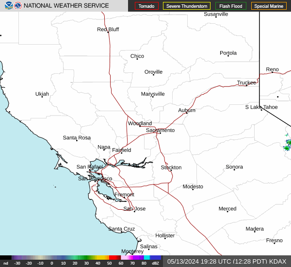
Radar & Satellite Image

Hourly Weather Forecast


