Hazardous Weather Conditions
Current conditions at
OWENS CAMP (OWNC1)
Lat: 38.73582°NLon: 120.24158°WElev: 5240.0ft.NA
37°F
3°C
| Humidity | 77% |
| Wind Speed | SE 2 MPH |
| Barometer | NA |
| Dewpoint | 30°F (-1°C) |
| Visibility | NA |
| Last update | 17 Nov 09:02 AM PST |
Extended Forecast for
13 Miles W Echo Summit CA
Winter Storm Warning November 17, 10:00pm until November 20, 04:00am
Today

High: 32 °F
Partly Sunny
Tonight
Low: 25 °F
Partly Cloudy
then Chance
SnowWednesday

High: 32 °F
Heavy Snow
Wednesday Night

Low: 29 °F
Snow
Thursday
High: 32 °F
Snow
Thursday Night
Low: 25 °F
Snow
Friday

High: 32 °F
Chance Snow
Friday Night

Low: 21 °F
Partly Cloudy
Saturday

High: 32 °F
Chance Snow
Detailed Forecast
Today
Partly sunny, with a high near 32. Calm wind becoming west southwest 5 to 7 mph in the afternoon.
Tonight
A 30 percent chance of snow, mainly after 4am. Increasing clouds, with a low around 25. Southeast wind 6 to 9 mph, with gusts as high as 22 mph. New snow accumulation of less than one inch possible.
Wednesday
Snow. The snow could be heavy at times. High near 32. South wind 9 to 15 mph, with gusts as high as 34 mph. Chance of precipitation is 100%. New snow accumulation of 7 to 11 inches possible.
Wednesday Night
Snow. Low around 29. South southwest wind 10 to 16 mph, with gusts as high as 34 mph. Chance of precipitation is 100%. New snow accumulation of 6 to 10 inches possible.
Thursday
Snow before 10am, then snow showers after 10am. Some thunder is also possible. High near 32. South southwest wind around 6 mph. Chance of precipitation is 100%. New snow accumulation of 6 to 10 inches possible.
Thursday Night
Snow, mainly before 4am. Low around 25. Chance of precipitation is 100%. New snow accumulation of 3 to 5 inches possible.
Friday
A 40 percent chance of snow, mainly before 10am. Mostly sunny, with a high near 32. New snow accumulation of less than a half inch possible.
Friday Night
Partly cloudy, with a low around 21.
Saturday
A chance of snow after 10am. Partly sunny, with a high near 32.
Saturday Night
Snow likely. Mostly cloudy, with a low around 26.
Sunday
Snow likely. Mostly cloudy, with a high near 31.
Sunday Night
Snow likely. Mostly cloudy, with a low around 26.
Monday
A chance of snow. Partly sunny, with a high near 36.
Additional Forecasts and Information
Basemap Options
Click map to change the forecast location
Loading map...
 Forecast Area
ABOUT THIS FORECAST
Point Forecast:
13 Miles W Echo Summit CA
38.87°N 120.29°W (Elev. 6391 ft)
38.87°N 120.29°W (Elev. 6391 ft)
1:01 am PST Nov 17, 2026
9am PST Nov 17, 2026-6pm PST Nov 23, 2026


Additional Resources
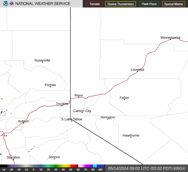
Radar & Satellite Image

Hourly Weather Forecast