Hazardous Weather Conditions
Current conditions at
WHITE CLOUD (CISC1)
Lat: 39.31944°NLon: 120.84211°WElev: 4302.0ft.NA
36°F
2°C
| Humidity | 100% |
| Wind Speed | S 6 MPH |
| Barometer | NA |
| Dewpoint | 36°F (2°C) |
| Visibility | NA |
| Wind Chill | 31°F (-1°C) |
| Last update | 19 Nov 01:33 AM PST |
Extended Forecast for
13 Miles NNE Grass Valley CA
Winter Storm Warning November 19, 02:10am until November 20, 04:00am
NOW until 4:00am Fri

Winter Storm Warning
Overnight

Low: 42 °F
Showers
Thursday

High: 42 °F
Showers
Thursday Night

Low: 37 °F
Rain and
Patchy FogFriday
High: 43 °F
Chance Rain
and Areas Fog
then Patchy
FogFriday Night

Low: 29 °F
Frost
Saturday
High: 42 °F
Slight Chance
Rain then
Rain and
Patchy FogSaturday Night
Low: 38 °F
Rain then
Rain LikelySunday
High: 41 °F
Chance
Rain/Snow and
Patchy Fog
Detailed Forecast
Overnight
Showers and possibly a thunderstorm. Steady temperature around 42. Calm wind. Chance of precipitation is 100%. New rainfall amounts between a quarter and half of an inch possible.
Thursday
Showers and possibly a thunderstorm, mainly before 4pm, then rain likely and possibly a thunderstorm after 4pm. High near 42. Light and variable wind. Chance of precipitation is 100%. New rainfall amounts between three quarters and one inch possible.
Thursday Night
Rain, mainly before 1am. Patchy fog between 9pm and 10pm. Low around 37. Light and variable wind. Chance of precipitation is 80%. New precipitation amounts of less than a tenth of an inch possible.
Friday
A 30 percent chance of rain, mainly before 7am. Areas of fog before 1pm. Patchy frost before 10am. Otherwise, mostly cloudy through mid morning, then gradual clearing, with a high near 43. Calm wind. New precipitation amounts of less than a tenth of an inch possible.
Friday Night
Widespread frost, mainly after 7pm. Otherwise, mostly clear, with a low around 29. East northeast wind 3 to 5 mph.
Saturday
Rain, mainly after 4pm. Patchy fog after 4pm. High near 42. Chance of precipitation is 80%.
Saturday Night
Rain. Low around 38. Chance of precipitation is 90%.
Sunday
A chance of rain before 4pm, then a chance of rain and snow. Patchy fog after 9am. Otherwise, cloudy, with a high near 41.
Sunday Night
A chance of rain and snow before 7pm, then a chance of rain between 7pm and 10pm. Mostly cloudy, with a low around 31.
Monday
Mostly sunny, with a high near 46.
Monday Night
A chance of rain and snow. Mostly cloudy, with a low around 35.
Tuesday
Rain and snow. Mostly cloudy, with a high near 45.
Tuesday Night
Rain. Cloudy, with a low around 40.
Wednesday
Rain likely. Mostly cloudy, with a high near 47.
Additional Forecasts and Information
Basemap Options
Click map to change the forecast location
Loading map...
 Forecast Area
ABOUT THIS FORECAST
Point Forecast:
13 Miles NNE Grass Valley CA
39.4°N 120.97°W (Elev. 3360 ft)
39.4°N 120.97°W (Elev. 3360 ft)
1:01 am PST Nov 19, 2026
2am PST Nov 19, 2026-6pm PST Nov 25, 2026


Additional Resources
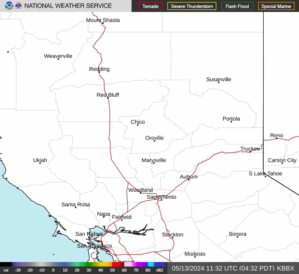
Radar & Satellite Image

Hourly Weather Forecast