

Record Heat for the Intermountain West and Northern Plains; Heavy Rainfall and Severe Weather Threats

Record setting heat is expected over the next several days from the Intermountain West through the northern Plains. Furthermore, fire weather concerns increase with dry and breezy conditions. Meanwhile, heavy rainfall and severe thunderstorm threats for the Ohio/Tennessee Valleys, central Appalachians and Southeast today. The threat shifts to central Gulf Coast and across central Texas this week. Read More >

Current conditions at

SADDLEBACK (SLEC1)

Lat: 39.63614°NLon: 120.86399°WElev: 6670.0ft.

NA

65°F

18°C

Humidity 28%
Wind Speed ENE 7 MPH
Barometer NA
Dewpoint 31°F (-1°C)
Visibility NA
Last update 12 Jul 08:18 AM PDT
Extended Forecast for

14 Miles S Quincy CA

  • Today

    Today: A 20 percent chance of rain before 11am.  Mostly cloudy, with a high near 76. Light and variable wind becoming south southwest 5 to 9 mph in the morning. Winds could gust as high as 18 mph.

    High: 76 °F

    Slight Chance
    Rain then
    Mostly Cloudy

  • Tonight

    Tonight: Mostly cloudy, with a low around 61. South wind around 5 mph becoming light and variable  in the evening.

    Low: 61 °F

    Mostly Cloudy

  • Monday

    Monday: A 20 percent chance of rain.  Cloudy through mid morning, then gradual clearing, with a high near 76. Light and variable wind becoming southwest 5 to 7 mph in the afternoon.

    High: 76 °F

    Slight Chance
    Rain

  • Monday Night

    Monday Night: Partly cloudy, with a low around 59. Southwest wind 5 to 7 mph becoming light and variable  in the evening.

    Low: 59 °F

    Partly Cloudy

  • Tuesday

    Tuesday: Sunny, with a high near 78. Calm wind becoming southwest 5 to 9 mph in the afternoon.

    High: 78 °F

    Sunny

  • Tuesday Night

    Tuesday Night: Mostly clear, with a low around 58.

    Low: 58 °F

    Mostly Clear

  • Wednesday

    Wednesday: Sunny, with a high near 84.

    High: 84 °F

    Sunny

  • Wednesday Night

    Wednesday Night: Mostly clear, with a low around 57.

    Low: 57 °F

    Mostly Clear

  • Thursday

    Thursday: Sunny, with a high near 82.

    High: 82 °F

    Sunny

Detailed Forecast

Today
A 20 percent chance of rain before 11am. Mostly cloudy, with a high near 76. Light and variable wind becoming south southwest 5 to 9 mph in the morning. Winds could gust as high as 18 mph.
Tonight
Mostly cloudy, with a low around 61. South wind around 5 mph becoming light and variable in the evening.
Monday
A 20 percent chance of rain. Cloudy through mid morning, then gradual clearing, with a high near 76. Light and variable wind becoming southwest 5 to 7 mph in the afternoon.
Monday Night
Partly cloudy, with a low around 59. Southwest wind 5 to 7 mph becoming light and variable in the evening.
Tuesday
Sunny, with a high near 78. Calm wind becoming southwest 5 to 9 mph in the afternoon.
Tuesday Night
Mostly clear, with a low around 58.
Wednesday
Sunny, with a high near 84.
Wednesday Night
Mostly clear, with a low around 57.
Thursday
Sunny, with a high near 82.
Thursday Night
Mostly clear, with a low around 58.
Friday
Sunny, with a high near 81.
Friday Night
Partly cloudy, with a low around 59.
Saturday
Mostly sunny, with a high near 78.
Basemap Options
Click map to change the forecast location
Loading map...

ABOUT THIS FORECAST

 
Point Forecast:
14 Miles S Quincy CA
 39.71°N 120.97°W (Elev. 5197 ft)
2:00 am PDT Jul 12, 2026
8am PDT Jul 12, 2026-6pm PDT Jul 18, 2026
 
Get as KML Get as XML

Additional Resources

Radar & Satellite Image
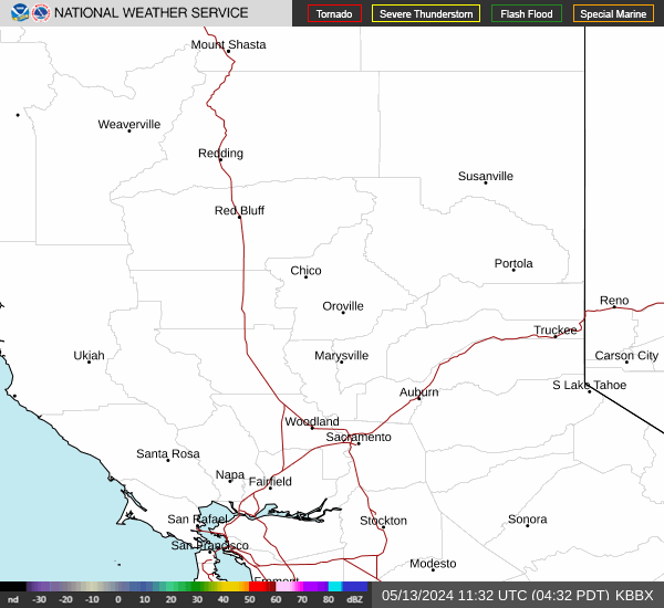
Link to Local Radar Data Link to Satellite Data

Hourly Weather Forecast

National Digital Forecast Database


