

Hurricane Isaias Approaching the Gulf Coast; Remnants of Rachel to Impact the Southwest U.S.

Hurricane Isaias is expected to make landfall along the U.S. northern Gulf Coast late Friday or early Saturday. A life-threatening storm surge is expected along the coast with damaging wind gusts extending well inland. Areas of heavy rainfall are forecast throughout much of the Southeast U.S. The remnants of Rachel will bring gusty winds and heavy rainfall to the Southwest U.S. this weekend. Read More >

Current conditions at

GERBER RESERVOIR (GRBO3)

Lat: 42.20597°NLon: 121.13806°WElev: 4950.0ft.

NA

62°F

17°C

Humidity 31%
Wind Speed ESE 0 MPH
Barometer NA
Dewpoint 31°F (-1°C)
Visibility NA
Last update 08 Oct 08:45 PM PDT
Extended Forecast for

20 Miles ESE Tulelake CA

Red Flag Warning October 9, 01:00pm until October 9, 07:00pm
Click here for hazard details and duration
Red Flag Warning
  • Tonight

    Tonight: Clear, with a low around 47. Light and variable wind.

    Low: 47 °F

    Clear

  • Friday

    Friday: Sunny, with a high near 76. Light and variable wind becoming west northwest 11 to 16 mph in the afternoon. Winds could gust as high as 25 mph.

    High: 76 °F

    Sunny

  • Friday Night

    Friday Night: Increasing clouds, with a low around 41. West northwest wind 5 to 8 mph becoming calm.

    Low: 41 °F

    Increasing
    Clouds

  • Saturday

    Saturday: Partly sunny, with a high near 54. West northwest wind 6 to 8 mph.

    High: 54 °F

    Partly Sunny

  • Saturday Night

    Saturday Night: A chance of rain and snow after 11pm.  Snow level 6500 feet lowering to 4900 feet after midnight . Mostly cloudy, with a low around 33. Northwest wind 6 to 11 mph becoming northeast 13 to 18 mph in the evening. Winds could gust as high as 28 mph.  Chance of precipitation is 40%. Little or no snow accumulation expected.

    Low: 33 °F

    Chance
    Rain/Snow

  • Sunday

    Sunday: Partly sunny, with a high near 48.

    High: 48 °F

    Partly Sunny

  • Sunday Night

    Sunday Night: Partly cloudy, with a low around 27.

    Low: 27 °F

    Partly Cloudy

  • Columbus Day

    Columbus Day: A slight chance of rain after 11am.  Snow level rising to 6700 feet in the afternoon. Mostly sunny, with a high near 52.

    High: 52 °F

    Slight Chance
    Rain

  • Monday Night

    Monday Night: A slight chance of rain before 11pm.  Snow level 7000 feet lowering to 5900 feet after midnight . Partly cloudy, with a low around 29.

    Low: 29 °F

    Slight Chance
    Rain then
    Mostly Clear

Detailed Forecast

Tonight
Clear, with a low around 47. Light and variable wind.
Friday
Sunny, with a high near 76. Light and variable wind becoming west northwest 11 to 16 mph in the afternoon. Winds could gust as high as 25 mph.
Friday Night
Increasing clouds, with a low around 41. West northwest wind 5 to 8 mph becoming calm.
Saturday
Partly sunny, with a high near 54. West northwest wind 6 to 8 mph.
Saturday Night
A chance of rain and snow after 11pm. Snow level 6500 feet lowering to 4900 feet after midnight . Mostly cloudy, with a low around 33. Northwest wind 6 to 11 mph becoming northeast 13 to 18 mph in the evening. Winds could gust as high as 28 mph. Chance of precipitation is 40%. Little or no snow accumulation expected.
Sunday
Partly sunny, with a high near 48.
Sunday Night
Partly cloudy, with a low around 27.
Columbus Day
A slight chance of rain after 11am. Snow level rising to 6700 feet in the afternoon. Mostly sunny, with a high near 52.
Monday Night
A slight chance of rain before 11pm. Snow level 7000 feet lowering to 5900 feet after midnight . Partly cloudy, with a low around 29.
Tuesday
Sunny, with a high near 57.
Tuesday Night
Partly cloudy, with a low around 32.
Wednesday
Sunny, with a high near 60.
Wednesday Night
Mostly clear, with a low around 34.
Thursday
Sunny, with a high near 64.
Basemap Options
Click map to change the forecast location
Loading map...

ABOUT THIS FORECAST

 
Point Forecast:
20 Miles ESE Tulelake CA
 41.86°N 121.13°W (Elev. 4537 ft)
9:11 pm PDT Oct 8, 2026
9pm PDT Oct 8, 2026-6pm PDT Oct 15, 2026
 
Get as KML Get as XML

Additional Resources

Radar & Satellite Image
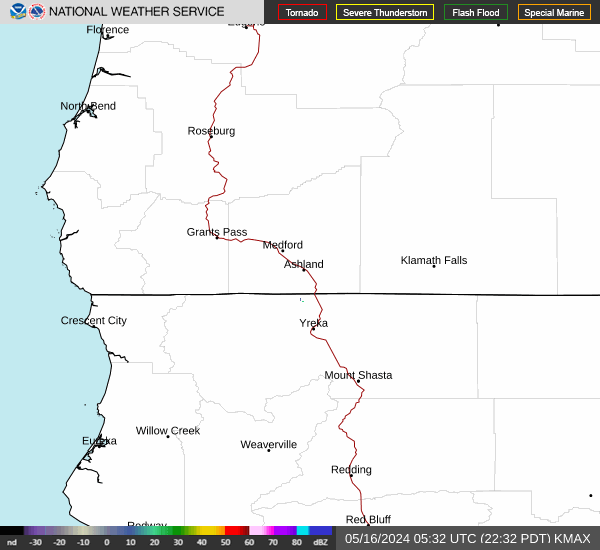
Link to Local Radar Data Link to Satellite Data

Hourly Weather Forecast

National Digital Forecast Database


