

Showers and Storms in the East; Dangerously Hot and Dry in the West

A frontal boundary will bring scattered showers and storms to portions of the Central and Eastern U.S. through the end of the week. Meanwhile, dangerous heat will intensify across the Intermountain West and expand into the Central U.S. by early next week. Elevated wildfire conditions will develop across portions of the Northern/Central Plains and air quality issues will persist in the Northwest. Read More >

Current conditions at

TOKETEE (TOFO3)

Lat: 43.21856°NLon: 122.41258°WElev: 3360.0ft.

NA

95°F

35°C

Humidity 15%
Wind Speed NNW 6 MPH
Barometer NA
Dewpoint 40°F (4°C)
Visibility NA
Heat Index91°F (33°C)
Last update 05 Aug 02:32 PM PDT
Extended Forecast for

27 Miles WNW Crater Lake OR

Red Flag Warning until August 5, 09:00pm
Click here for hazard details and duration
Red Flag Warning
  •  
    Red Flag Warning until August 5, 09:00pm

    NOW until 9:00pm Wed

    Red Flag Warning

  • This Afternoon

    High: 105 °F

    Patchy Smoke

  • Tonight

    Tonight: Widespread smoke, mainly after 8pm. Clear, with a low around 63. West northwest wind around 6 mph becoming calm  in the evening.

    Low: 63 °F

    Smoke

  • Thursday

    Thursday: Widespread smoke, mainly before 9am. Sunny and hot, with a high near 104. Calm wind becoming west 5 to 7 mph in the afternoon.

    High: 104 °F

    Smoke

  • Thursday Night

    Thursday Night: Areas of smoke. Mostly clear, with a low around 63. Northwest wind 5 to 8 mph becoming calm  in the evening.

    Low: 63 °F

    Areas Smoke

  • Friday

    Friday: Sunny and hot, with a high near 104. Calm wind becoming west 5 to 7 mph in the afternoon.

    High: 104 °F

    Hot

  • Friday Night

    Friday Night: Clear, with a low around 61.

    Low: 61 °F

    Clear

  • Saturday

    Saturday: Sunny and hot, with a high near 100.

    High: 100 °F

    Hot

  • Saturday Night

    Saturday Night: Clear, with a low around 57.

    Low: 57 °F

    Clear

Detailed Forecast

This Afternoon
Patchy smoke. Sunny and hot, with a high near 105. West wind around 7 mph.
Tonight
Widespread smoke, mainly after 8pm. Clear, with a low around 63. West northwest wind around 6 mph becoming calm in the evening.
Thursday
Widespread smoke, mainly before 9am. Sunny and hot, with a high near 104. Calm wind becoming west 5 to 7 mph in the afternoon.
Thursday Night
Areas of smoke. Mostly clear, with a low around 63. Northwest wind 5 to 8 mph becoming calm in the evening.
Friday
Sunny and hot, with a high near 104. Calm wind becoming west 5 to 7 mph in the afternoon.
Friday Night
Clear, with a low around 61.
Saturday
Sunny and hot, with a high near 100.
Saturday Night
Clear, with a low around 57.
Sunday
Sunny, with a high near 94.
Sunday Night
Mostly clear, with a low around 55.
Monday
Sunny, with a high near 93.
Monday Night
Clear, with a low around 55.
Tuesday
Sunny, with a high near 92.
Tuesday Night
Mostly clear, with a low around 55.
Wednesday
Sunny, with a high near 90.
Basemap Options
Click map to change the forecast location
Loading map...

ABOUT THIS FORECAST

 
Point Forecast:
27 Miles WNW Crater Lake OR
 43.05°N 122.66°W (Elev. 1959 ft)
2:11 pm PDT Aug 5, 2026
3pm PDT Aug 5, 2026-6pm PDT Aug 12, 2026
 
Get as KML Get as XML

Additional Resources

Radar & Satellite Image
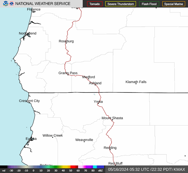
Link to Local Radar Data Link to Satellite Data

Hourly Weather Forecast

National Digital Forecast Database


