Heavy Rainfall and Severe Weather Along the East Coast; Unsettled Weather in the Pacific Northwest
A cold front across the East Coast will continue to bring heavy to excessive rainfall, gusty to damaging winds, and a possible tornado through Friday. A series of Pacific storms will continue impacts through the middle of next week across the Pacific Northwest and northern California coast. Gusty winds, low elevation rainfall, and high elevation snow are expected. Read More >

LOG CREEK (LGFO3)
Lat: 45.49658°NLon: 121.89646°WElev: 2854.0ft.NA
41°F
5°C
| Humidity | 97% |
| Wind Speed | NE 2 MPH |
| Barometer | NA |
| Dewpoint | 40°F (4°C) |
| Visibility | NA |
| Last update | 06 Nov 02:06 AM PST |
4 Miles SW Lolo Pass OR
Overnight

Low: 37 °F
Cloudy
Friday
High: 58 °F
Partly Sunny
then Chance
RainFriday Night
Low: 42 °F
Chance Rain
and Patchy
FogSaturday
High: 63 °F
Patchy Fog
then Chance
RainSaturday Night

Low: 39 °F
Rain
Sunday
High: 50 °F
Chance Rain
then Mostly
CloudySunday Night

Low: 34 °F
Mostly Cloudy
Monday

High: 53 °F
Rain Likely
Monday Night

Low: 41 °F
Rain
Detailed Forecast
Additional Forecasts and Information
 Forecast Area
ABOUT THIS FORECAST
45.38°N 121.88°W (Elev. 1946 ft)


Additional Resources
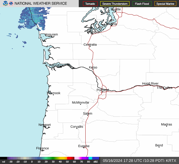
Radar & Satellite Image

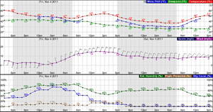
Hourly Weather Forecast