



Tropical Storm Isaias in the Gulf; California Heat Continues
Tropical Storm Isaias is forecast to track toward the central U.S. Gulf Coast while strengthening into a hurricane on Thursday. Residents from Louisiana to the Florida Panhandle should closely monitor the latest updates. Much higher than typical October temperatures will continue across much of California through midweek. Temperatures are forecast to gradually cool beginning Thursday. Read More >

US26 WB at Sunset Rest Area HWY47 MP28.77 (ODT96)
Lat: 45.79711°NLon: 123.46197°WElev: 1480.0ft.NA
42°F
6°C
| Humidity | 97% |
| Wind Speed | WNW 0 MPH |
| Barometer | NA |
| Dewpoint | 41°F (5°C) |
| Visibility | NA |
| Last update | 07 Oct 05:48 AM PDT |
7 Miles ENE Foss OR
Today

High: 76 °F
Sunny
Tonight

Low: 53 °F
Clear
Thursday

High: 76 °F
Sunny
Thursday Night

Low: 52 °F
Increasing
CloudsFriday

High: 60 °F
Showers
Likely and
Patchy FogFriday Night

Low: 46 °F
Slight Chance
ShowersSaturday

High: 57 °F
Chance
ShowersSaturday Night

Low: 42 °F
Partly Cloudy
Sunday
High: 61 °F
Sunny
Detailed Forecast
Additional Forecasts and Information
 Forecast Area
ABOUT THIS FORECAST
45.74°N 123.6°W (Elev. 538 ft)


Additional Resources
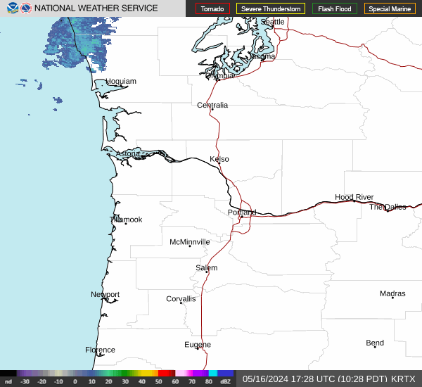
Radar & Satellite Image

Hourly Weather Forecast


