Hazardous Weather Impacts on the East and West Coasts
A cold front will continue to progress eastward today and Friday across the Eastern Seaboard with showers and thunderstorms bringing isolated heavy rainfall, gusty to damaging winds, and a possible tornado. A series of Pacific storms will begin to push into the Pacific Northwest today with impacts from heavy rain and snow continuing through the middle of next week. Read More >

Hazardous Weather Conditions
Last Update: 131 PM PST Thu Nov 5 2026
For More Weather Information:
3NM S Long Beach WA
Marine Zone Forecast
...SMALL CRAFT ADVISORY IN EFFECT THROUGH FRIDAY MORNING... ...GALE WARNING IN EFFECT FROM FRIDAY MORNING THROUGH FRIDAY AFTERNOON...
In The Main Channel
General Seas
10 ft building to 17 ft friday afternoon.
First Ebb
Ebb current of 5.0 kt at 144 pm thursday. Seas 10 ft.
Second Ebb
Ebb current of 3.9 kt at 201 am friday. Seas 10 to 11 ft.
Third Ebb
Ebb current of 5.57 kt at 229 pm friday. Seas 12 to 17 ft.
Additional Forecasts and Information
Basemap Options
Click map to change the forecast location
Loading map...
 Forecast Area
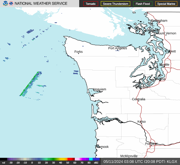
RADAR & SATELLITE IMAGES