



Heavy Rainfall and Flooding in the Southwest and Along the East Coast
A multi-day heavy rainfall event is set to begin across New Mexico into west Texas Tuesday through Wednesday. Flash flooding and debris flows in the vicinity of burn scars will also be possible. A strong coastal low will develop offshore of the Mid-Atlantic coast midweek, bringing heavy rainfall, strong winds and coastal flooding to much of the East Coast through Friday. Read More >

BURNT MOUNTAIN (BUSW1)
Lat: 47.0444°NLon: 121.94032°WElev: 4170.0ft.NA
48°F
9°C
| Humidity | NA |
| Wind Speed | NA NA MPH |
| Barometer | NA |
| Dewpoint | N/A |
| Visibility | NA |
| Last update | NA |
2 Miles SE Mt Rainier WA
Tonight

Low: 37 °F
Increasing
CloudsTuesday

High: 41 °F
Mostly Sunny
Tuesday Night

Low: 25 °F
Partly Cloudy
Wednesday

High: 41 °F
Partly Sunny
Wednesday Night
Low: 30 °F
Mostly Cloudy
Thursday

High: 44 °F
Slight Chance
SnowThursday Night

Low: 26 °F
Snow
Friday

High: 31 °F
Snow and
WindyFriday Night

Low: 21 °F
Snow Likely
and Windy
Detailed Forecast
Additional Forecasts and Information
 Forecast Area
ABOUT THIS FORECAST
46.83°N 121.74°W (Elev. 9485 ft)


Additional Resources
Radar & Satellite Image
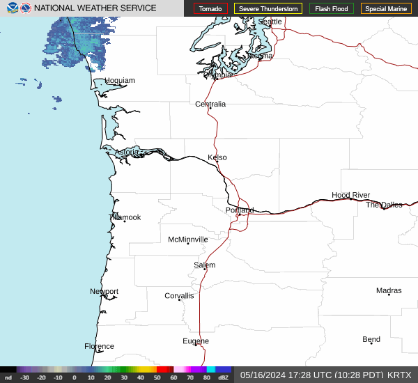

Hourly Weather Forecast


