Heavy Rain and Thunderstorms in the Lower Ohio Valley and Southeast; Flooding Continues Along the East Coast of Florida
An approaching cold front may produce isolated heavy rainfall and severe weather today over portions of the Lower Ohio Valley and Southeast. While the heavy rainfall is ending across east Florida, significant river flooding is forecast along the St. John’s and the Peace rivers through the end of the week as flood waters will be slow to recede. Read More >

MINOT PEAK (MIPW1)
Lat: 46.89222°NLon: 123.41694°WElev: 1768.0ft.NA
58°F
14°C
| Humidity | 61% |
| Wind Speed | SSE 0 MPH |
| Barometer | NA |
| Dewpoint | 45°F (7°C) |
| Visibility | NA |
| Last update | 04 Nov 11:00 AM PST |
Montesano WA
Today

High: 58 °F
Rain
Tonight
Low: 45 °F
Rain then
Slight Chance
RainThursday

High: 58 °F
Partly Sunny
Thursday Night
Low: 45 °F
Cloudy then
Rain LikelyFriday

High: 56 °F
Rain
Friday Night

Low: 49 °F
Rain
Saturday
High: 63 °F
Chance Rain
then Rain
LikelySaturday Night

Low: 49 °F
Showers
Sunday

High: 57 °F
Chance Rain
Detailed Forecast
Additional Forecasts and Information
 Forecast Area
ABOUT THIS FORECAST
46.97°N 123.61°W (Elev. 200 ft)


Additional Resources
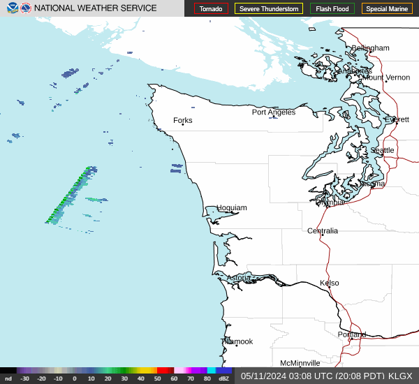
Radar & Satellite Image

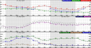
Hourly Weather Forecast