Last Update: 316 AM EDT Sat Aug 22 2026
For More Weather Information:
6NM SE Sanibel FL
Marine Zone Forecast
Today
Southwest winds 5 to 10 knots. Seas 1 foot or less. Wave detail: west 1 foot at 4 seconds. Bay and inland waters light chop. Isolated showers and thunderstorms late this morning and early afternoon.
Tonight
Southwest winds 5 to 10 knots. Seas 1 foot or less. Wave detail: west 1 foot at 4 seconds. Bay and inland waters light chop.
Sunday
Southwest winds 5 to 10 knots. Seas 1 foot or less. Wave detail: southwest 1 foot at 4 seconds. Bay and inland waters light chop.
Sunday Night
West winds 5 to 10 knots, becoming south after midnight. Seas 1 foot or less. Wave detail: west 1 foot at 4 seconds. Bay and inland waters light chop.
Monday
Southeast winds around 5 knots, becoming southwest in the afternoon. Seas 1 foot or less. Wave detail: west 1 foot at 4 seconds. Bay and inland waters light chop.
Monday Night
Northwest winds 5 to 10 knots, becoming northeast after midnight. Seas 1 foot or less. Wave detail: west 1 foot at 3 seconds. Bay and inland waters light chop. Isolated showers and thunderstorms in the evening.
Tuesday
East winds around 5 knots, becoming southwest in the afternoon. Seas 1 foot or less. Bay and inland waters light chop. Isolated showers and thunderstorms in the afternoon.
Tuesday Night
Northwest winds 5 to 10 knots, becoming east after midnight. Seas 1 foot or less. Bay and inland waters light chop. Isolated showers and thunderstorms.
Wednesday
Southeast winds around 5 knots, becoming south in the afternoon. Seas 1 foot or less. Bay and inland waters smooth. Isolated showers and thunderstorms.
winds and seas higher in and near thunderstorms.
winds and seas higher in and near thunderstorms.
Winds and seas higher in and near thunderstorms.
Basemap Options
Click map to change the forecast location
Loading map...
 Forecast Area
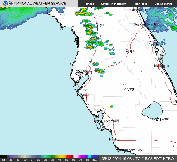
RADAR & SATELLITE IMAGES