Flooding Threat Continues in Portions of Texas; Poor Air Quality in the Great Lakes through the Mid-Atlantic
Widespread life-threatening flash and urban flooding continues in south-central Texas, with considerable flooding impacts possible across central Texas. Wildfire smoke is impacting air quality across much of the Great Lakes region into southern New England and the Mid-Atlantic. Monsoonal thunderstorms may produce isolated to scattered flash flooding across the Southwest into the Great Basin. Read More >
Hazardous Weather Conditions

Current conditions at
Milwaukee, General Mitchell International Airport (KMKE)
Lat: 42.96° N Lon: 87.9° W Elev: 722 ft.
Mostly Cloudy
92°F
33°C
| Humidity | 46% |
| Wind Speed | SW 10 mph |
| Barometer | 29.98 in (1014.6 mb) |
| Dewpoint | 68°F (20°C) |
| Visibility | 10.00 mi |
| Heat Index | 96°F (36°C) |
| Last update | 17 Jul 12:52 pm CDT |
Detailed forecast for
Milwaukee County
Rest Of Today
Very warm and humid. Partly sunny with scattered light showers and chance of thunderstorms. Patchy smoke. Near steady temperature in the upper 80s. Southwest winds 5 to 10 mph. Chance of precipitation 30 percent. Heat index readings 95 to 99.
Tonight
Partly cloudy. Slight chance of thunderstorms and isolated light showers in the evening. Lows in the mid 70s. Southwest winds 5 to 10 mph. Chance of precipitation 20 percent.
Saturday
Warm and humid. Mostly sunny. A 30 percent chance of light showers in the morning. Patchy smoke in the afternoon. Highs in the upper 80s. Northwest winds 10 to 15 mph shifting to the northeast in the afternoon. Highest heat index readings 95 to 98 late in the morning.
Saturday Night
Cooler. Mostly clear. Patchy smoke through around midnight. Lows in the mid 60s. Northeast winds up to 15 mph.
Sunday
Sunny. Highs in the lower 80s. East winds up to 10 mph.
Sunday Night
Partly cloudy. Lows in the mid 60s.
Monday
Partly sunny with showers likely and chance of thunderstorms. Highs around 90. Chance of precipitation 60 percent.
Monday Night
Mostly cloudy with showers likely and chance of thunderstorms through around midnight, then partly cloudy with chance of light showers and slight chance of thunderstorms after midnight. Lows in the upper 60s. Chance of precipitation 70 percent.
Tuesday
Sunny. Slight chance of light showers in the morning, then slight chance of light showers and thunderstorms in the afternoon. Highs in the mid 80s. Chance of precipitation 20 percent.
Tuesday Night
Mostly clear. Lows around 60.
Wednesday
Sunny. Highs in the upper 70s.
Wednesday Night
Mostly clear. Lows in the upper 50s.
Thursday
Sunny. Highs in the lower 80s.
Additional Forecasts and Information
Basemap Options
Click map to change the forecast location
Loading map...
 Forecast Area
Additional Resources
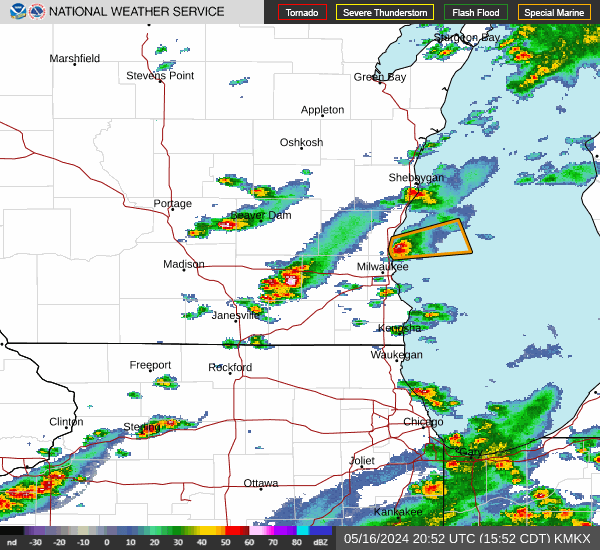
Radar & Satellite Image

Hourly Weather Forecast