



Extreme Heat Across the Southern U.S.; Severe Thunderstorms and Heavy Rain in the Northern Plains and Upper Midwest
Dangerous heat will remain across portions of the southern U.S. through the weekend. A heat wave over the Southwest will intensify this week, peaking and expanding into the Intermountain West and northern High Plains this weekend. Severe thunderstorms will produce damaging winds and heavy rainfall over portions of the northern/central Plains into the mid/upper-Mississippi Valleys today. Read More >

Current conditions at
WARM SPRINGS CANYON (QWSA3)
Lat: 36.70117° N Lon: 112.22689° W Elev: 7953.0 ft.NA
80°F
27°C
| Humidity | 31% |
| Wind Speed | NNW 2 MPH |
| Barometer | NA |
| Dewpoint | 47°F (8°C) |
| Visibility | NA |
| Heat Index | 79°F (26°C) |
| Last update | 30 Jul 12:47 PM MST |
Detailed forecast for
Kaibab Plateau
Today
Mostly sunny with a 10 percent chance of thunderstorms. Highs 82 to 90 above 6000 feet...90 to 96 below 6000 feet. Light winds.
Tonight
Mostly clear. Lows 58 to 68. Light winds.
Friday
Mostly sunny. Highs 88 to 96 above 6000 feet...94 to 100 below 6000 feet. Light winds.
Friday Night
Mostly clear. Lows 60 to 68. Light winds.
Saturday
Mostly sunny. Highs 91 to 101. Light winds.
Saturday Night Through Sunday Night
Mostly clear. Lows 62 to 72. Highs 90 to 98 above 6000 feet...97 to 104 below 6000 feet.
Monday
Sunny. Highs 89 to 97 above 6000 feet...96 to 102 below 6000 feet.
Monday Night
Mostly clear. Lows 61 to 71.
Tuesday
Sunny. Highs 88 to 96 above 6000 feet...95 to 101 below 6000 feet.
Tuesday Night
Mostly clear. Lows 62 to 72.
Wednesday
Mostly sunny with a 10 percent chance of thunderstorms. Highs 86 to 94 above 6000 feet...93 to 99 below 6000 feet.
Additional Forecasts and Information
Basemap Options
Click map to change the forecast location
Loading map...
 Forecast Area
Additional Resources
Radar & Satellite Image
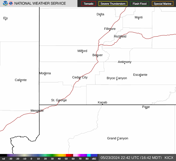

Hourly Weather Forecast


