


News Headlines

Current conditions at
Goodyear Municipal (KGYR)
Lat: 33.41667°NLon: 112.38333°WElev: 968.0ft.
Partly Cloudy
99°F
37°C
| Humidity | 32% |
| Wind Speed | WSW 5 MPH |
| Barometer | 29.71 in (1006.1 mb) |
| Dewpoint | 65°F (18°C) |
| Visibility | 10.00 mi |
| Heat Index | 102°F (39°C) |
| Last update | 13 Sep 07:47 PM MST |
Extended Forecast for
Avondale AZ
Tonight
Low: 85 °F
Partly Cloudy
then Slight
Chance
T-stormsMonday
High: 104 °F
Mostly Sunny
then Slight
Chance
T-stormsMonday Night

Low: 83 °F
Slight Chance
T-stormsTuesday

High: 102 °F
Sunny
Tuesday Night

Low: 81 °F
Chance
ShowersWednesday
High: 101 °F
Chance
Showers then
Mostly SunnyWednesday Night

Low: 81 °F
Chance
T-stormsThursday
High: 101 °F
Slight Chance
T-storms then
Mostly SunnyThursday Night

Low: 81 °F
Mostly Clear
Detailed Forecast
Tonight
A 10 percent chance of showers and thunderstorms after 3am. Partly cloudy, with a low around 85. West southwest wind around 5 mph becoming south southeast after midnight.
Monday
A 20 percent chance of showers and thunderstorms after 2pm. Mostly sunny, with a high near 104. Northeast wind 5 to 10 mph becoming south in the afternoon.
Monday Night
A 20 percent chance of showers and thunderstorms, mainly between 11pm and 2am. Partly cloudy, with a low around 83. South wind 5 to 10 mph becoming east after midnight.
Tuesday
Sunny, with a high near 102. East wind around 10 mph becoming south in the afternoon.
Tuesday Night
A 30 percent chance of showers and thunderstorms after 11pm. Partly cloudy, with a low around 81. South southwest wind 5 to 10 mph becoming light and variable after midnight.
Wednesday
A 30 percent chance of showers and thunderstorms before 11am. Mostly sunny, with a high near 101. Southeast wind 5 to 10 mph.
Wednesday Night
A 40 percent chance of showers and thunderstorms. Mostly cloudy, with a low around 81. South southeast wind around 5 mph becoming east after midnight.
Thursday
A 20 percent chance of showers and thunderstorms before 11am. Mostly sunny, with a high near 101. East wind 5 to 10 mph becoming south southeast in the afternoon.
Thursday Night
Mostly clear, with a low around 81. East wind around 5 mph.
Friday
Sunny, with a high near 105. East wind 5 to 10 mph becoming south southwest in the afternoon.
Friday Night
Mostly clear, with a low around 82. Calm wind becoming east around 5 mph after midnight.
Saturday
Sunny, with a high near 106. East wind 5 to 10 mph becoming southwest in the afternoon.
Saturday Night
Mostly clear, with a low around 82. Southwest wind around 5 mph becoming east after midnight.
Sunday
Sunny, with a high near 103. East wind around 10 mph becoming southwest in the afternoon.
Basemap Options
Click map to change the forecast location
Loading map...
 Forecast Area
ABOUT THIS FORECAST
Point Forecast:
Avondale AZ
33.45°N 112.34°W (Elev. 997 ft)
33.45°N 112.34°W (Elev. 997 ft)
3:37 pm MST Sep 13, 2026
8pm MST Sep 13, 2026-6pm MST Sep 20, 2026


Additional Resources
Radar & Satellite Image
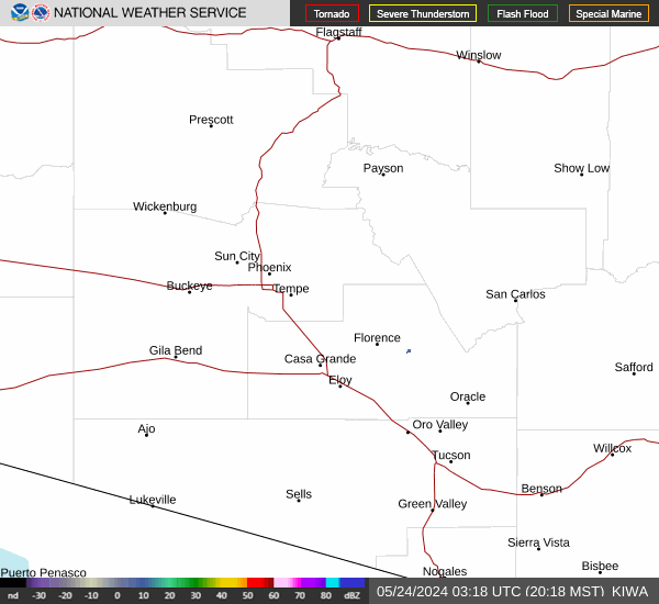

Hourly Weather Forecast


