Heavy to Excessive Rainfall This Week from the Southwest into Central U.S.
Pacific tropical moisture wrapping into a storm over the southwest U.S. will continue a multi-day heavy rainfall event this week that will extend into the Midwest and southern Plains. Considerable flash flooding is possible across portions of New Mexico and west Texas today through Wednesday. Read More >

Current conditions at
Philadelphia, Philadelphia International Airport (KPHL)
Lat: 39.87°NLon: 75.23°WElev: 7ft.
Mostly Cloudy
68°F
20°C
| Humidity | 73% |
| Wind Speed | W 7 mph |
| Barometer | 30.04 in (1017.0 mb) |
| Dewpoint | 59°F (15°C) |
| Visibility | 10.00 mi |
| Last update | 29 Sep 9:54 am EDT |
Extended Forecast for
Oaklyn NJ
Today

High: 74 °F
Partly Sunny
Tonight

Low: 59 °F
Partly Cloudy
Wednesday

High: 78 °F
Mostly Sunny
Wednesday Night

Low: 62 °F
Mostly Cloudy
Thursday
High: 82 °F
Mostly Sunny
Thursday Night

Low: 65 °F
Mostly Clear
Friday
High: 84 °F
Mostly Sunny
Friday Night
Low: 63 °F
Mostly Cloudy
Saturday
High: 73 °F
Partly Sunny
Detailed Forecast
Today
Partly sunny, with a high near 74. Northwest wind around 5 mph.
Tonight
Partly cloudy, with a low around 59. Calm wind.
Wednesday
Mostly sunny, with a high near 78. Calm wind becoming west around 5 mph.
Wednesday Night
Mostly cloudy, with a low around 62. Calm wind.
Thursday
Mostly sunny, with a high near 82. Southwest wind around 5 mph.
Thursday Night
Mostly clear, with a low around 65.
Friday
Mostly sunny, with a high near 84.
Friday Night
Mostly cloudy, with a low around 63.
Saturday
Partly sunny, with a high near 73.
Saturday Night
A chance of showers. Mostly cloudy, with a low around 58. Chance of precipitation is 50%.
Sunday
Showers likely. Mostly cloudy, with a high near 69. Chance of precipitation is 60%.
Sunday Night
A chance of showers. Mostly cloudy, with a low around 56. Chance of precipitation is 40%.
Monday
Partly sunny, with a high near 67.
Additional Forecasts and Information
Basemap Options
Click map to change the forecast location
Loading map...
 Forecast Area
ABOUT THIS FORECAST
Point Forecast:
Oaklyn NJ
39.9°N 75.08°W (Elev. 16 ft)
39.9°N 75.08°W (Elev. 16 ft)
4:09 am EDT Sep 29, 2026
10am EDT Sep 29, 2026-6pm EDT Oct 5, 2026


Additional Resources
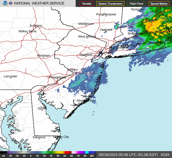
Radar & Satellite Image

Hourly Weather Forecast