Areas of Severe Thunderstorms and Excessive Rainfall Friday
Severe thunderstorms capable of large hail and damaging wind gusts appear possible over the central and southern High Plains and eastern Kansas into Missouri Friday afternoon and evening. Rounds of storms Friday ahead of a slow moving frontal boundary will bring locally heavy rainfall and scattered flash flooding potential to the Mid-Mississippi, Ohio, and Tennessee Valleys, and the Appalachians. Read More >

Hazardous Weather Conditions
Last Update: 947 PM SST Thu Jul 9 2026
For More Weather Information:
Marine Zone Forecast
Rest Of Tonight
South wind 10 to 15 knots with higher gusts. seas 6 to 8 feet. Widespread showers becoming numerous overnight.
Friday
South wind 15 knots. Seas 5 to 7 feet. Scattered showers.
Friday Night
Southeast wind 15 knots. Seas 5 to 7 feet. Scattered showers.
Saturday
Southeast wind 15 knots. Seas 5 to 7 feet. Scattered showers.
Saturday Night
Southeast wind 15 knots. Seas 5 to 7 feet. Scattered showers.
Sunday
Southeast wind 15 knots. Seas 5 to 7 feet. Scattered showers.
Sunday Night
Southeast wind 20 knots. Seas 5 to 7 feet. Scattered showers.
Monday
Southeast wind 15 to 20 knots. Seas 6 to 8 feet. Scattered showers.
Tuesday
Southeast wind 20 to 25 knots. Seas 6 to 8 feet. Scattered showers.
Additional Forecasts and Information
Basemap Options
Click map to change the forecast location
Loading map...
 Forecast Area
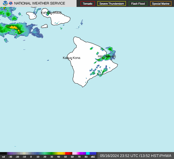
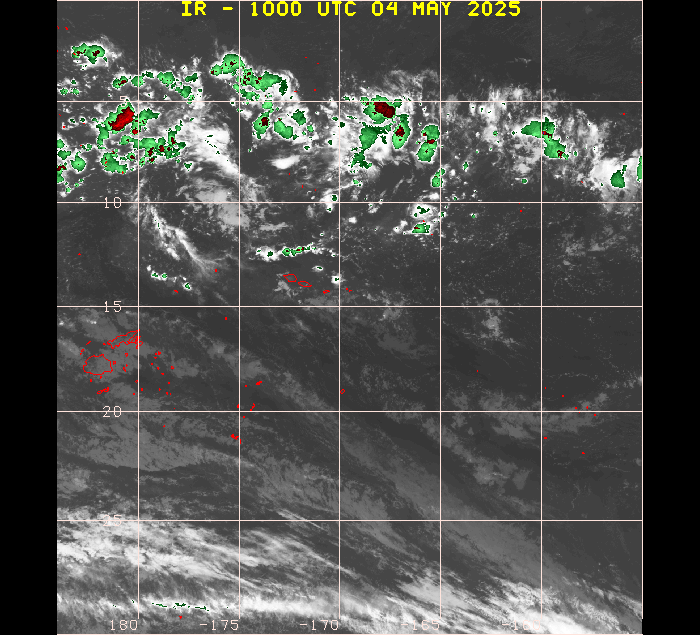
RADAR & SATELLITE IMAGES