



Showers and Storms in the East; Dangerously Hot and Dry in the West
Scattered showers and storms are expected across portions of the Central and Eastern U.S. through the end of the week. Meanwhile, dangerous heat will intensify across the Desert Southwest and Intermountain West. Hot, dry weather and increasing winds will allow elevated wildfire conditions to return to the northern Intermountain West, where air quality issues persist from ongoing fires. Read More >
Hazardous Weather Conditions

Current conditions at
Pago Pago, AS, Samoa (NSTU)
Lat: 14.33° S Lon: 170.71° W Elev: 9 ft.
Overcast and Breezy
76°F
24°C
| Humidity | 78% |
| Wind Speed | SE 25 G 32 mph |
| Barometer | 29.99 in (1015.6 mb) |
| Dewpoint | 69°F (21°C) |
| Visibility | 10.00 mi |
| Heat Index | 77°F (25°C) |
| Last update | 7 Aug 10:50 pm SST |
Detailed forecast for
Manua
Rest Of Tonight
Windy. Mostly cloudy. Scattered showers. Lows around 73. Southeast winds 25 to 35 mph with higher gusts.
Saturday
Windy. Partly sunny. Scattered showers. Highs around 80. Southeast winds around 30 mph.
Saturday Night And Sunday
Windy. Mostly cloudy. Scattered showers. Lows in the mid 70s. Highs around 80. Southeast winds around 30 mph.
Sunday Night Through Friday
Breezy. Mostly cloudy. Scattered showers. Lows in the mid 70s. Highs around 83. East winds 15 to 20 mph.
Additional Forecasts and Information
Basemap Options
Click map to change the forecast location
Loading map...
 Forecast Area
Additional Resources
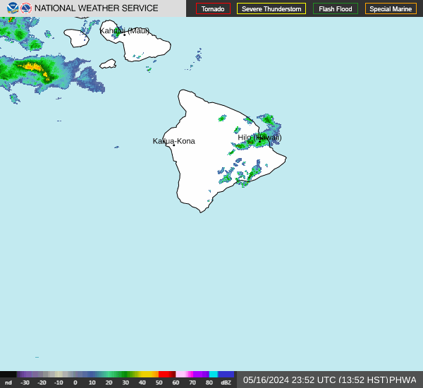
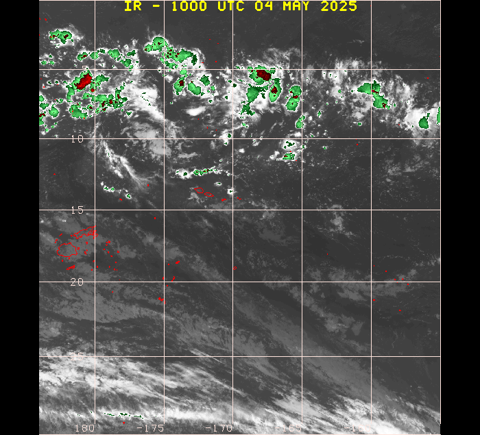
Radar & Satellite Image
Hourly Weather Forecast


