Areas of Dangerous Heat and Heavy Rain with Possible Flooding into this Weekend
Hot temperatures and high humidity are forecast to continue across the mid-Mississippi Valley into this weekend with heat advisories in effect. Heavy to excessive rainfall occurring at times through Sunday could bring areas of flooding to parts of the upper Midwest, central Great Lakes, southern New England and Virginia/North Carolina tidewater region. Read More >

Hazardous Weather Conditions
Last Update: 1000 PM SST Thu Sep 17 2026
For More Weather Information:
Marine Zone Forecast
Rest Of Tonight
East wind 10 knots. Seas 6 to 8 feet. Numerous showers and a slight chance of a thunderstorm.
Friday
East wind 10 knots. Seas 5 to 7 feet. Numerous showers.
Friday Night
Northeast wind 5 knots. Seas 5 to 7 feet. numerous showers.
Saturday
Northeast wind 5 knots. Seas 5 to 7 feet. Numerous showers.
Saturday Night
East wind 5 knots. Seas 5 to 7 feet. Numerous showers.
Sunday And Sunday Night
Southeast wind 5 to 10 knots. Seas 5 to 7 feet. Numerous showers.
Monday Through Tuesday
East wind 10 to 15 knots. Seas 5 to 7 feet. Numerous showers.
Additional Forecasts and Information
Basemap Options
Click map to change the forecast location
Loading map...
 Forecast Area
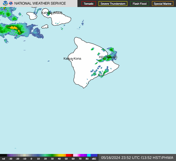
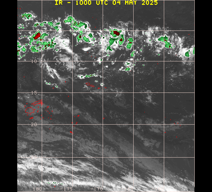
RADAR & SATELLITE IMAGES