



Excessive Rainfall Potential for the Southeast; Heat Expands for Center of the Nation; Critical Fire Weather for Pacific Northwest
Flash flooding threatens areas from the Tennessee Valley to the Carolinas as storms repeat along a stalled front. Monsoonal storms may trigger flooding in the Southwest. Dangerous heat expands across the Desert Southwest, Plains, mid-Mississippi Valley and Southern Tier. Critical fire weather for interior Pacific Northwest. Cooler, drier air brings brief relief to the Great Lakes and Northeast. Read More >
Hazardous Weather Conditions

Current conditions at
Pago Pago, AS, Samoa (NSTU)
Lat: 14.33° S Lon: 170.71° W Elev: 9 ft.
Partly Cloudy
79°F
26°C
| Humidity | 86% |
| Wind Speed | Vrbl 5 mph |
| Barometer | 29.88 in (1012.0 mb) |
| Dewpoint | 74°F (23°C) |
| Visibility | 10.00 mi |
| Heat Index | 83°F (28°C) |
| Last update | 24 Jul 10:50 pm SST |
Detailed forecast for
Tutuila and Aunuu
Rest Of Tonight
Mostly cloudy. Scattered showers. Lows around 77. East winds around 15 mph.
Saturday
Mostly cloudy. Numerous showers. Highs around 84. east winds 10 to 15 mph.
Saturday Night
Mostly cloudy. Numerous showers. Lows around 77. East winds 5 to 15 mph.
Sunday
Partly sunny. Scattered showers. Highs in the mid 80s. Northeast winds 5 to 10 mph.
Sunday Night And Monday
Mostly cloudy. Scattered showers. Lows in the upper 70s. Highs in the lower 80s. Variable winds up to 10 mph.
Monday Night
Mostly cloudy. Numerous showers. Lows in the upper 70s. Southeast winds up to 5 to 15 mph.
Tuesday Through Friday
Breezy. Partly cloudy. Scattered showers. Highs in the lower 80s. Lows in the mid 70s. Southeast winds 15 to 25 mph.
Additional Forecasts and Information
Basemap Options
Click map to change the forecast location
Loading map...
 Forecast Area
Additional Resources
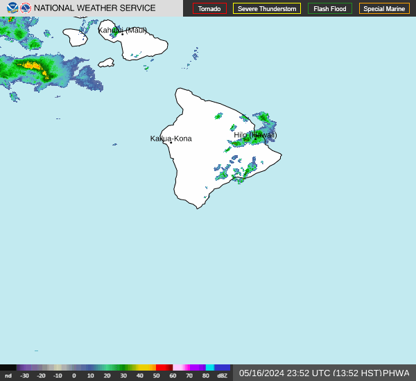
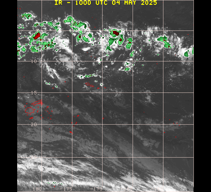
Radar & Satellite Image
Hourly Weather Forecast


