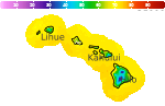
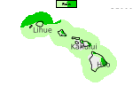
Impacts from Lowell to impact the islands through Tuesday
Lowell is expected to bring various impacts to all islands through Tuesday. High surf will continue through Monday night. Flooding will be possible as showers and thunderstorms develop Sunday night through Tuesday, and there is the possibility for some tornadoes/waterspouts Monday and Monday night. Tropical storm force winds are expected to reach Kauai and Niihau late Monday through Monday night. Read More >

Hazardous Weather Conditions
Hilo, Hilo International Airport (PHTO)
Lat: 19.72°NLon: 155.06°WElev: 36ft.
Fog/Mist
77°F
25°C
| Humidity | 94% |
| Wind Speed | SW 5 mph |
| Barometer | 29.82 in (1009.6 mb) |
| Dewpoint | 75°F (24°C) |
| Visibility | 4.00 mi |
| Heat Index | 78°F (26°C) |
| Last update | 6 Sep 6:53 pm HST |
2 Miles WSW Hawaii Volcanoes National Park HI
NOW: Multiple hazards in effect

Click HERE for Details
Tonight

Low: 63 °F
Heavy Rain
Labor Day

High: 74 °F
Heavy Rain
Monday Night
Low: 65 °F
Heavy Rain
Tuesday

High: 76 °F
Heavy Rain
Tuesday Night

Low: 65 °F
Heavy Rain
Wednesday

High: 74 °F
Showers
LikelyWednesday Night
Low: 62 °F
Showers
Likely then
Isolated
ShowersThursday

High: 72 °F
Scattered
Showers
Detailed Forecast
Additional Forecasts and Information
 Forecast Area
ABOUT THIS FORECAST
19.43°N 155.3°W (Elev. 3904 ft)


Additional Resources
Radar & Satellite Image
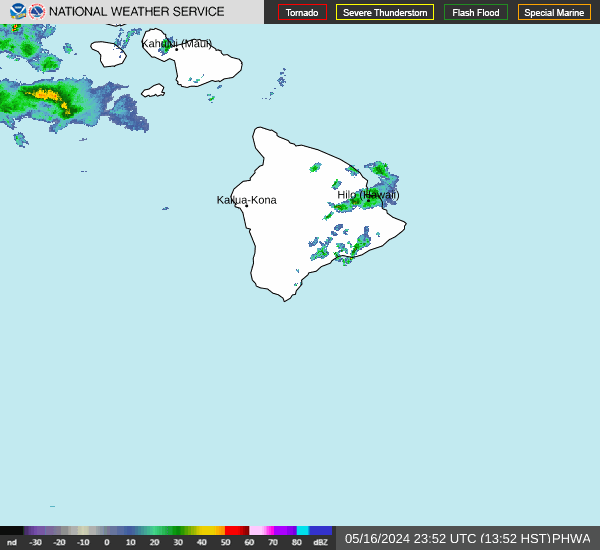

Hourly Weather Forecast