Current conditions at
Lihue, Lihue Airport (PHLI)
Lat: 21.98°NLon: 159.34°WElev: 148ft.
A Few Clouds
77°F
25°C
| Humidity | 77% |
| Wind Speed | NE 14 G 24 mph |
| Barometer | 30.08 in (1018.2 mb) |
| Dewpoint | 69°F (21°C) |
| Visibility | 10.00 mi |
| Heat Index | 79°F (26°C) |
| Last update | 9 Nov 6:53 pm HST |
Extended Forecast for
Eleele HI
Tonight
Low: 74 °F
Isolated
Showers then
Partly CloudyTuesday
High: 85 °F
Mostly Sunny
then Sunny
and BreezyTuesday Night

Low: 74 °F
Mostly Clear
and BreezyVeterans Day

High: 85 °F
Sunny and
BreezyWednesday Night

Low: 73 °F
Partly Cloudy
and BreezyThursday
High: 84 °F
Sunny and
BreezyThursday Night
Low: 73 °F
Partly Cloudy
and BreezyFriday
High: 85 °F
Sunny and
BreezyFriday Night

Low: 73 °F
Partly Cloudy
Detailed Forecast
Tonight
Isolated showers before midnight. Partly cloudy, with a low around 74. East northeast wind around 14 mph. Chance of precipitation is 20%.
Tuesday
Mostly sunny, with a high near 85. Breezy, with an east northeast wind 13 to 15 mph, with gusts as high as 18 mph.
Tuesday Night
Mostly clear, with a low around 74. Breezy, with an east northeast wind around 16 mph, with gusts as high as 21 mph.
Veterans Day
Sunny, with a high near 85. Breezy, with an east northeast wind around 17 mph, with gusts as high as 21 mph.
Wednesday Night
Partly cloudy, with a low around 73. Breezy, with an east northeast wind around 16 mph, with gusts as high as 21 mph.
Thursday
Sunny, with a high near 84. Breezy, with an east northeast wind around 16 mph, with gusts as high as 21 mph.
Thursday Night
Partly cloudy, with a low around 73. Breezy, with an east northeast wind 14 to 16 mph, with gusts as high as 20 mph.
Friday
Sunny, with a high near 85. Breezy, with an east northeast wind around 15 mph, with gusts as high as 18 mph.
Friday Night
Partly cloudy, with a low around 73. East northeast wind around 14 mph.
Saturday
Sunny, with a high near 85. Breezy, with an east northeast wind 14 to 16 mph, with gusts as high as 20 mph.
Saturday Night
Partly cloudy, with a low around 73. Breezy, with an east northeast wind around 16 mph, with gusts as high as 20 mph.
Sunday
Mostly sunny, with a high near 85. Breezy, with an east northeast wind around 16 mph, with gusts as high as 21 mph.
Sunday Night
Partly cloudy, with a low around 73. Breezy, with an east wind 14 to 16 mph, with gusts as high as 20 mph.
Monday
Mostly sunny, with a high near 85. Breezy, with an east northeast wind 14 to 16 mph, with gusts as high as 20 mph.
Additional Forecasts and Information
Basemap Options
Click map to change the forecast location
Loading map...
 Forecast Area
ABOUT THIS FORECAST
Point Forecast:
Eleele HI
21.89°N 159.59°W (Elev. 0 ft)
21.89°N 159.59°W (Elev. 0 ft)
6:02 pm HST Nov 9, 2026
7pm HST Nov 9, 2026-6pm HST Nov 16, 2026


Additional Resources
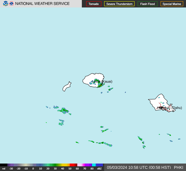
Radar & Satellite Image

Hourly Weather Forecast