News Headlines
- WE ARE HIRING: NWS Brownsville/Rio Grande Valley is officially hiring a GS-5/7/9 Meteorologist. Apply today at USAJobs!
- October 1-7 Rainfall Improves Long-Term Drought, but Severe to Extreme Conditions Remain for Some. Click Here for Details.
- New: October-December2026 Outlook - After a brutally hot and dry September, October brings the pattern change to wetter and less hot, with above average rainfall to close out 2026; flash flooding, water supply, & hazardous marine conditions in focus

Current conditions at
Harlingen, Rio Grande Valley International Airport (KHRL)
Lat: 26.23°NLon: 97.66°WElev: 33ft.
Fair
82°F
28°C
| Humidity | 88% |
| Wind Speed | SE 12 mph |
| Barometer | 29.93 in (1013.3 mb) |
| Dewpoint | 78°F (26°C) |
| Visibility | 10.00 mi |
| Heat Index | 91°F (33°C) |
| Last update | 12 Oct 8:52 pm CDT |
Extended Forecast for
3 Miles SSE Rangerville TX
Tonight

Low: 78 °F
Mostly Clear
Tuesday
High: 95 °F
Sunny then
Sunny and
BreezyTuesday Night

Low: 79 °F
Increasing
CloudsWednesday
High: 94 °F
Mostly Sunny
then Mostly
Sunny and
BreezyWednesday Night
Low: 76 °F
Mostly Clear
Thursday

High: 91 °F
Sunny
Thursday Night
Low: 74 °F
Mostly Clear
Friday
High: 90 °F
Chance
Showers then
Chance
T-storms and
BreezyFriday Night

Low: 69 °F
Chance
T-storms and
Breezy
Detailed Forecast
Tonight
Mostly clear, with a low around 78. Southeast wind around 10 mph, with gusts as high as 21 mph.
Tuesday
Sunny, with a high near 95. Heat index values as high as 108. Breezy, with a south southeast wind 10 to 18 mph, with gusts as high as 32 mph.
Tuesday Night
Increasing clouds, with a low around 79. Southeast wind 11 to 15 mph, with gusts as high as 28 mph.
Wednesday
Mostly sunny, with a high near 94. Heat index values as high as 107. Breezy, with a southeast wind 10 to 18 mph, with gusts as high as 31 mph.
Wednesday Night
Mostly clear, with a low around 76. East southeast wind 10 to 16 mph, with gusts as high as 28 mph.
Thursday
Sunny, with a high near 91. East southeast wind 9 to 14 mph, with gusts as high as 24 mph.
Thursday Night
Mostly clear, with a low around 74. East wind 6 to 11 mph becoming light in the evening. Winds could gust as high as 20 mph.
Friday
A chance of showers, with thunderstorms also possible after 1pm. Sunny, with a high near 90. Breezy, with a northeast wind 6 to 11 mph increasing to 13 to 18 mph in the afternoon. Winds could gust as high as 33 mph. Chance of precipitation is 50%.
Friday Night
A 40 percent chance of showers and thunderstorms. Partly cloudy, with a low around 69. Breezy, with a north northeast wind 16 to 21 mph, with gusts as high as 41 mph.
Saturday
A 50 percent chance of showers and thunderstorms. Mostly sunny, with a high near 81. Breezy, with a north wind 17 to 22 mph, with gusts as high as 41 mph.
Saturday Night
A 30 percent chance of showers and thunderstorms. Partly cloudy, with a low around 67. North wind 9 to 11 mph, with gusts as high as 23 mph.
Sunday
A 40 percent chance of showers and thunderstorms. Mostly sunny, with a high near 83.
Sunday Night
A 20 percent chance of showers. Partly cloudy, with a low around 68.
Monday
A 30 percent chance of showers and thunderstorms. Mostly sunny, with a high near 87.
Additional Forecasts and Information
Basemap Options
Click map to change the forecast location
Loading map...
 Forecast Area
ABOUT THIS FORECAST
Point Forecast:
3 Miles SSE Rangerville TX
26.07°N 97.72°W
26.07°N 97.72°W
9:00 pm CDT Oct 12, 2026
9pm CDT Oct 12, 2026-6pm CDT Oct 19, 2026


Additional Resources
Radar & Satellite Image
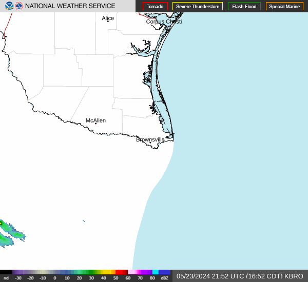

Hourly Weather Forecast