News Headlines
- WE ARE HIRING: NWS Brownsville/Rio Grande Valley is officially hiring a GS-5/7/9 Meteorologist. Apply today at USAJobs!
- New: November 2026-January 2027 Outlook - Normal to warmer than normal conditions are favored through the remainder of the Fall into the upcoming Winter Season; mainly dry; marine/coastal, drought, fire weather, & water supply issues are in focus

Current conditions at
Port Isabel, Port Isabel-Cameron County Airport (KPIL)
Lat: 26.16°NLon: 97.34°WElev: 16ft.
Fog/Mist
77°F
25°C
| Humidity | 94% |
| Wind Speed | Calm |
| Barometer | 29.92 in (1013.2 mb) |
| Dewpoint | 75°F (24°C) |
| Visibility | 5.00 mi |
| Heat Index | 78°F (26°C) |
| Last update | 5 Nov 10:53 pm CST |
Extended Forecast for
10 Miles NNW Port Isabel-Cameron County Airport TX
Tonight

Low: 70 °F
Showers
Likely and
Patchy FogFriday

High: 79 °F
Showers
LikelyFriday Night

Low: 68 °F
Chance
ShowersSaturday

High: 79 °F
Chance
ShowersSaturday Night

Low: 66 °F
Showers
Sunday
High: 76 °F
Breezy.
T-storms then
ShowersSunday Night

Low: 63 °F
Showers
Likely and
BreezyMonday

High: 72 °F
Chance
Showers and
BreezyMonday Night

Low: 63 °F
Slight Chance
Showers
Detailed Forecast
Tonight
A chance of showers and thunderstorms, then showers likely and possibly a thunderstorm after 4am. Patchy fog before 4am. Otherwise, partly cloudy, with a low around 70. Light and variable wind. Chance of precipitation is 60%.
Friday
Showers and thunderstorms likely before noon, then a chance of showers. Partly sunny, with a high near 79. Light north northeast wind increasing to 11 to 16 mph in the morning. Winds could gust as high as 21 mph. Chance of precipitation is 70%. New precipitation amounts between a quarter and half of an inch possible.
Friday Night
A 30 percent chance of showers, mainly between 11pm and 1am. Partly cloudy, with a low around 68. East northeast wind 7 to 11 mph.
Saturday
A chance of showers, with thunderstorms also possible after noon. Sunny during the morning, then mostly cloudy during the afternoon, with a high near 79. East wind 9 to 16 mph, with gusts as high as 21 mph. Chance of precipitation is 50%.
Saturday Night
Showers and possibly a thunderstorm. Low around 66. East wind 11 to 15 mph, with gusts as high as 20 mph. Chance of precipitation is 80%.
Sunday
Showers and possibly a thunderstorm. High near 76. Breezy, with an east southeast wind 13 to 22 mph becoming northeast in the afternoon. Winds could gust as high as 28 mph. Chance of precipitation is 90%.
Sunday Night
Showers likely and possibly a thunderstorm. Mostly cloudy, with a low around 63. Breezy, with a north northeast wind 17 to 24 mph. Chance of precipitation is 70%.
Monday
A 40 percent chance of showers and thunderstorms. Mostly cloudy, with a high near 72. Breezy, with a north wind 14 to 18 mph.
Monday Night
A 20 percent chance of showers. Mostly cloudy, with a low around 63. North wind 9 to 13 mph.
Tuesday
A 20 percent chance of showers. Mostly cloudy, with a high near 75. North northeast wind 8 to 10 mph.
Tuesday Night
Mostly cloudy, with a low around 65. North northeast wind 5 to 7 mph becoming calm.
Veterans Day
A 20 percent chance of showers. Mostly cloudy, with a high near 76.
Wednesday Night
A 20 percent chance of showers. Mostly cloudy, with a low around 66.
Thursday
A 20 percent chance of showers. Partly sunny, with a high near 77.
Additional Forecasts and Information
Basemap Options
Click map to change the forecast location
Loading map...
 Forecast Area
ABOUT THIS FORECAST
Point Forecast:
10 Miles NNW Port Isabel-Cameron County Airport TX
26.31°N 97.37°W
26.31°N 97.37°W
11:45 pm CST Nov 5, 2026
11pm CST Nov 5, 2026-6pm CST Nov 12, 2026


Additional Resources
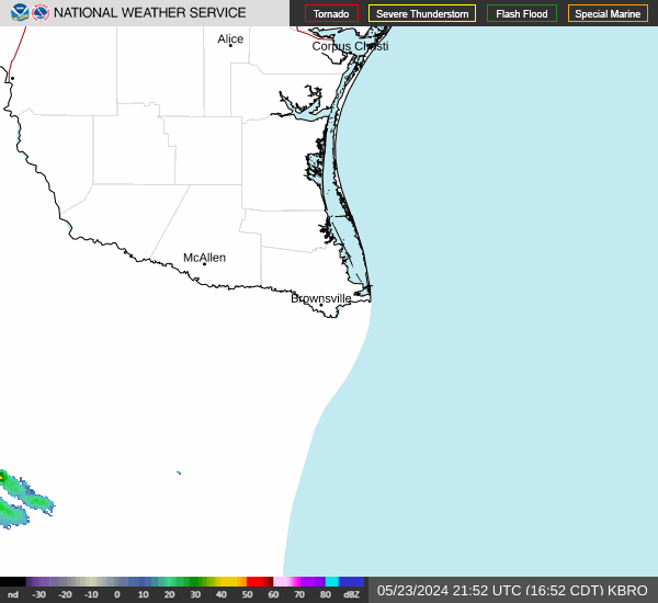
Radar & Satellite Image

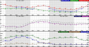
Hourly Weather Forecast