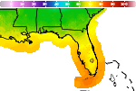
Localized Flooding through the Weekend followed by a Moderate Nor'easter and Tidal Flooding Next Week
Tropical moisture will fuel high chances for rain through the weekend and then along a stalling cold front next week. Several inches of rain are expected to fall over the next several days that will increase the risk for localized flooding each day. A Moderately Strong Nor'easter will develop Tuesday and bring gusty winds, dangerous surf/rip currents, and potential for moderate tidal flooding. Read More >

Palatka Kay Larkin Field (K28J)
Lat: 29.66°NLon: 81.69°WElev: 48ft.
Thunderstorm in Vicinity
86°F
30°C
| Humidity | 70% |
| Wind Speed | Calm |
| Barometer | 30.00 in |
| Dewpoint | 75°F (24°C) |
| Visibility | 10.00 mi |
| Heat Index | 95°F (35°C) |
| Last update | 4 Oct 3:35 pm EDT |
5 Miles ENE Fort Mc Coy FL
This Afternoon

High: 91 °F
Showers
LikelyTonight
Low: 72 °F
Showers
Likely then
Chance
ShowersMonday
High: 84 °F
Slight Chance
Showers then
Showers
LikelyMonday Night

Low: 70 °F
Heavy Rain
Tuesday

High: 80 °F
Showers
Tuesday Night

Low: 69 °F
Showers
LikelyWednesday

High: 81 °F
Showers
Wednesday Night
Low: 68 °F
Showers then
Chance
ShowersThursday
High: 82 °F
Chance
Showers then
Showers
Likely
Detailed Forecast
Additional Forecasts and Information
 Forecast Area
ABOUT THIS FORECAST
29.37°N 81.78°W


Additional Resources
Radar & Satellite Image
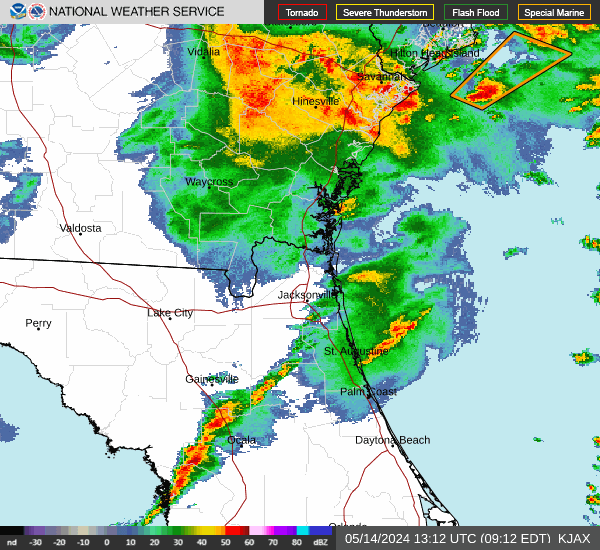

Hourly Weather Forecast