News Headlines
- 🌪️ SCHEDULE: 2026 SkyWarn Storm Spotter Classes (FREE!)
- 📊October 2026 Climate Summaries Mobile/Pensacola
- 🌴 Beach Bound? Learn More About RIP CURRENTS - The #1 Weather Related Killer Along Gulf Coast Beaches.
- 🌊 BEACH FORECAST Page for Rip Current Risk & UV Indices
- 🌀 NWS Mobile/Pensacola 2026 Hurricane Preparedness Guide

Current conditions at
Evergreen, Middleton Field (KGZH)
Lat: 31.42°NLon: 87.05°WElev: 256ft.
Fair
72°F
22°C
| Humidity | 37% |
| Wind Speed | N 8 mph |
| Barometer | 29.82 in (1009.5 mb) |
| Dewpoint | 44°F (7°C) |
| Visibility | 10.00 mi |
| Last update | 12 Nov 2:53 pm CST |
Extended Forecast for
River Falls AL
This Afternoon

High: 72 °F
Sunny
Tonight

Low: 43 °F
Clear
Friday
High: 60 °F
Sunny
Friday Night

Low: 34 °F
Clear then
Areas FrostSaturday

High: 58 °F
Areas Frost
then SunnySaturday Night
Low: 34 °F
Clear then
FrostSunday
High: 61 °F
Areas Frost
then SunnySunday Night

Low: 39 °F
Partly Cloudy
Monday

High: 59 °F
Partly Sunny
Detailed Forecast
This Afternoon
Sunny, with a high near 72. Northwest wind 5 to 10 mph, with gusts as high as 20 mph.
Tonight
Clear, with a low around 43. Northwest wind around 5 mph becoming calm in the evening.
Friday
Sunny, with a high near 60. Northwest wind 5 to 10 mph, with gusts as high as 20 mph.
Friday Night
Areas of frost after 3am. Otherwise, mostly clear, with a low around 34. Northwest wind around 5 mph becoming calm in the evening.
Saturday
Areas of frost before 7am. Otherwise, sunny, with a high near 58. North wind around 5 mph.
Saturday Night
Widespread frost, mainly after 5am. Otherwise, mostly clear, with a low around 34. Calm wind becoming northeast around 5 mph.
Sunday
Areas of frost before 7am. Otherwise, sunny, with a high near 61. Northeast wind around 5 mph.
Sunday Night
Partly cloudy, with a low around 39. Calm wind becoming northeast around 5 mph after midnight.
Monday
Partly sunny, with a high near 59. Northeast wind 5 to 10 mph, with gusts as high as 20 mph.
Monday Night
A 20 percent chance of showers. Mostly cloudy, with a low around 40.
Tuesday
Mostly sunny, with a high near 65.
Tuesday Night
Mostly clear, with a low around 41.
Wednesday
Sunny, with a high near 68.
Additional Forecasts and Information
Basemap Options
Click map to change the forecast location
Loading map...
 Forecast Area
ABOUT THIS FORECAST
Point Forecast:
River Falls AL
31.36°N 86.54°W (Elev. 308 ft)
31.36°N 86.54°W (Elev. 308 ft)
3:01 pm CST Nov 12, 2026
3pm CST Nov 12, 2026-6pm CST Nov 18, 2026


Additional Resources
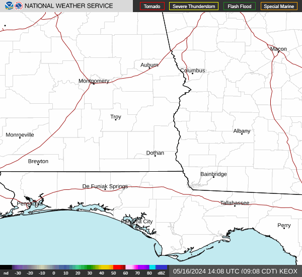
Radar & Satellite Image

Hourly Weather Forecast