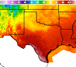
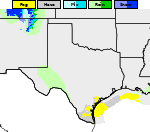
Showers and Thunderstorms from the Southern Plains into the Mid-Mississippi Valley; Record Warmth in the Plains and Midwest
Heavy rain and widely scattered severe storms capable of large hail, damaging winds, and possibly a tornado are expected over portions of the central and southern Plains into the Lower Missouri Valley. Unseasonable warmth will continue for a few more days across the Midwest and Southeast where several daily record highs could fall. Read More >

San Angelo, Mathis Field (KSJT)
Lat: 31.35°NLon: 100.49°WElev: 1916ft.
Fair
91°F
33°C
| Humidity | 44% |
| Wind Speed | S 15 G 26 mph |
| Barometer | 29.88 in (1009.1 mb) |
| Dewpoint | 66°F (19°C) |
| Visibility | 10.00 mi |
| Heat Index | 94°F (34°C) |
| Last update | 13 Oct 5:51 pm CDT |
6 Miles NE Tennyson TX
Tonight

Low: 73 °F
Increasing
CloudsWednesday

High: 95 °F
Gradual
ClearingWednesday Night

Low: 70 °F
Showers
LikelyThursday
High: 89 °F
Chance
Showers then
ShowersThursday Night

Low: 54 °F
Showers and
BreezyFriday

High: 67 °F
Mostly Cloudy
and BreezyFriday Night
Low: 44 °F
Mostly Cloudy
Saturday
High: 68 °F
Partly Sunny
Saturday Night

Low: 45 °F
Partly Cloudy
Detailed Forecast
Additional Forecasts and Information
 Forecast Area
ABOUT THIS FORECAST
31.82°N 100.23°W (Elev. 1699 ft)


Additional Resources
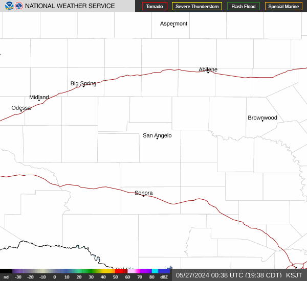
Radar & Satellite Image

Hourly Weather Forecast