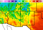
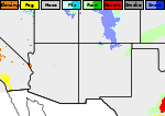
Severe Thunderstorms and Heavy Rain in the Central Plains to Upper Midwest; Extreme Heat in Parts of the South
Thunderstorms with severe wind gusts and hail will be possible today across parts of the central Plains, and from the Missouri Valley into the upper Mississippi Valley. Heavy rain associated with the thunderstorms may also produce flash/urban flooding. Critical fire weather conditions expected in the Great Basin and interior Northwest. Dangerous heat continues across the Southwest and Southeast. Read More >

Truth Or Consequences, Truth Or Consequences Municipal Airport (KTCS)
Lat: 33.24°NLon: 107.27°WElev: 4849ft.
Fair
84°F
29°C
| Humidity | 29% |
| Wind Speed | SW 10 G 21 mph |
| Barometer | 30.24 in (1014.0 mb) |
| Dewpoint | 48°F (9°C) |
| Visibility | 10.00 mi |
| Heat Index | 82°F (28°C) |
| Last update | 8 Jul 9:53 am MDT |
20 Miles WSW Winston NM
Today
High: 83 °F
Sunny then
T-storms
LikelyTonight
Low: 66 °F
Slight Chance
T-storms then
Partly CloudyThursday
High: 84 °F
Sunny then
Showers
LikelyThursday Night
Low: 67 °F
Slight Chance
T-storms then
Partly CloudyFriday
High: 86 °F
Sunny then
Chance
T-stormsFriday Night

Low: 67 °F
Partly Cloudy
Saturday

High: 86 °F
Sunny
Saturday Night
Low: 67 °F
Slight Chance
T-storms then
Partly CloudySunday
High: 81 °F
Mostly Sunny
then Slight
Chance
T-storms
Detailed Forecast
Additional Forecasts and Information
 Forecast Area
ABOUT THIS FORECAST
33.19°N 107.79°W (Elev. 7608 ft)


Additional Resources
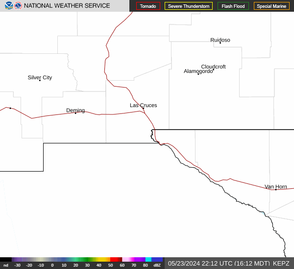
Radar & Satellite Image

Hourly Weather Forecast