



Hazardous Weather Conditions
Current conditions at
WD6AWP Huntington Beach (AR684)
Lat: 33.7075°NLon: 118.0305°WElev: 0.39ft.NA
68°F
20°C
| Humidity | 95% |
| Wind Speed | W 0 MPH |
| Barometer | 29.83 in (1010.16 mb) |
| Dewpoint | 67°F (19°C) |
| Visibility | NA |
| Last update | 08 Oct 03:15 AM PDT |
Extended Forecast for
Seal Beach CA
Coastal Flood Advisory October 8, 03:51am until October 13, 02:00pm
Extreme Heat Warning October 8, 03:51am until October 8, 08:00pm
NOW: Multiple hazards in effect

Click HERE for Details
Overnight
Low: 69 °F
Mostly Clear
Thursday

High: 85 °F
Sunny
Thursday Night
Low: 68 °F
Mostly Clear
then Patchy
FogFriday
High: 80 °F
Patchy Fog
then SunnyFriday Night

Low: 68 °F
Increasing
CloudsSaturday

High: 75 °F
Mostly Cloudy
Saturday Night

Low: 67 °F
Chance
ShowersSunday

High: 71 °F
Chance
Showers
Detailed Forecast
Overnight
Mostly clear, with a low around 69. Northwest wind around 5 mph becoming calm.
Thursday
Sunny, with a high near 85. Light and variable wind becoming west 10 to 15 mph in the afternoon. Winds could gust as high as 20 mph.
Thursday Night
Patchy fog after 2am. Otherwise, increasing clouds, with a low around 68. Northwest wind around 5 mph becoming calm in the evening.
Friday
Patchy fog before 11am. Otherwise, mostly sunny, with a high near 80. Light and variable wind becoming southwest 5 to 10 mph in the afternoon.
Friday Night
Increasing clouds, with a low around 68. Southwest wind around 5 mph.
Saturday
Mostly cloudy, with a high near 75.
Saturday Night
A chance of showers after 11pm. Mostly cloudy, with a low around 67. Chance of precipitation is 30%.
Sunday
A chance of showers. Mostly cloudy, with a high near 71.
Sunday Night
Showers likely, mainly after 11pm. Mostly cloudy, with a low around 62.
Columbus Day
A chance of showers. Mostly cloudy, with a high near 68.
Monday Night
A chance of showers. Mostly cloudy, with a low around 59.
Tuesday
A chance of showers. Partly sunny, with a high near 69.
Tuesday Night
A chance of showers. Partly cloudy, with a low around 60.
Wednesday
Mostly sunny, with a high near 72.
Additional Forecasts and Information
Basemap Options
Click map to change the forecast location
Loading map...
 Forecast Area
ABOUT THIS FORECAST
Point Forecast:
Seal Beach CA
33.74°N 118.07°W (Elev. 3 ft)
33.74°N 118.07°W (Elev. 3 ft)
12:12 am PDT Oct 8, 2026
3am PDT Oct 8, 2026-6pm PDT Oct 14, 2026


Additional Resources
Radar & Satellite Image
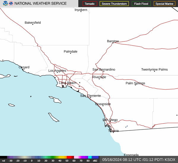

Hourly Weather Forecast


