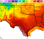
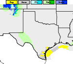
Heavy Rainfall and Severe Thunderstorm Threats; Heat Risk Expands; Monitoring the Tropics

Flash flooding risks continue for portions of the Four Corners and Great Basin through today. Severe thunderstorms are outlooked from the eastern Great Lakes, southern New England into the mid-Atlantic through Tuesday. Heat risk increases and expands across the center of the nation and across the Ohio Valley and mid-Atlantic this week. Continue to closely monitor tropical development in the Gulf. Read More >

Current conditions at

Wichita Falls, Sheppard Air Force Base (KSPS)

Lat: 33.98°NLon: 98.49°WElev: 1014ft.

Fair

84°F

29°C

Humidity 55%
Wind Speed S 10 mph
Barometer 30.02 in (1014.8 mb)
Dewpoint 66°F (19°C)
Visibility 10.00 mi
Heat Index86°F (30°C)
Last update 31 Aug 8:52 am CDT
Extended Forecast for

2 Miles N Wichita Falls TX

  • Today

    Today: Sunny and hot, with a high near 102. South southwest wind around 10 mph.

    High: 102 °F

    Hot

  • Tonight

    Tonight: Clear, with a low around 77. South southeast wind 7 to 11 mph.

    Low: 77 °F

    Clear

  • Tuesday

    Tuesday: Sunny and hot, with a high near 102. South wind 6 to 8 mph.

    High: 102 °F

    Hot

  • Tuesday Night

    Tuesday Night: Clear, with a low around 77. South southeast wind 7 to 10 mph.

    Low: 77 °F

    Clear

  • Wednesday

    Wednesday: Sunny and hot, with a high near 102. South southeast wind 6 to 8 mph.

    High: 102 °F

    Hot

  • Wednesday Night

    Wednesday Night: Clear, with a low around 77.

    Low: 77 °F

    Clear

  • Thursday

    Thursday: Sunny and hot, with a high near 102.

    High: 102 °F

    Hot

  • Thursday Night

    Thursday Night: Clear, with a low around 76.

    Low: 76 °F

    Clear

  • Friday

    Friday: Sunny and hot, with a high near 101.

    High: 101 °F

    Hot

Detailed Forecast

Today
Sunny and hot, with a high near 102. South southwest wind around 10 mph.
Tonight
Clear, with a low around 77. South southeast wind 7 to 11 mph.
Tuesday
Sunny and hot, with a high near 102. South wind 6 to 8 mph.
Tuesday Night
Clear, with a low around 77. South southeast wind 7 to 10 mph.
Wednesday
Sunny and hot, with a high near 102. South southeast wind 6 to 8 mph.
Wednesday Night
Clear, with a low around 77.
Thursday
Sunny and hot, with a high near 102.
Thursday Night
Clear, with a low around 76.
Friday
Sunny and hot, with a high near 101.
Friday Night
Clear, with a low around 76.
Saturday
Sunny and hot, with a high near 102.
Saturday Night
Mostly clear, with a low around 77.
Sunday
Sunny and hot, with a high near 102.
Basemap Options
Click map to change the forecast location
Loading map...

ABOUT THIS FORECAST

 
Point Forecast:
2 Miles N Wichita Falls TX
 33.93°N 98.52°W
1:27 am CDT Aug 31, 2026
9am CDT Aug 31, 2026-6pm CDT Sep 6, 2026
 
Get as KML Get as XML

Additional Resources

Radar & Satellite Image
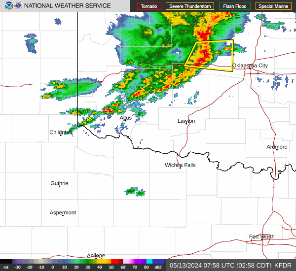
Link to Local Radar Data Link to Satellite Data

Hourly Weather Forecast

National Digital Forecast Database