Threats of Heavy Rainfall, Severe Thunderstorms and Dangerous Heat
Several complexes of thunderstorms, some severe with heavy rainfall, will impact areas from the northern Plains, Great Lakes, Ohio Valley to the mid-Atlantic. This threat will shift toward the Carolinas on Friday. Heavy rainfall, remnants of Edouard, continues for portions of eastern Texas through today. In-between these systems, a dome of high pressure and heat for central and eastern states. Read More >

Moriarty Municipal Airport (K0E0)
Lat: 34.98°NLon: 106°WElev: 6178ft.
Fair
88°F
31°C
| Humidity | 19% |
| Wind Speed | W 12 mph |
| Barometer | 30.19 in |
| Dewpoint | 40°F (4°C) |
| Visibility | 10.00 mi |
| Heat Index | 84°F (29°C) |
| Last update | 3 Sep 1:55 pm MDT |
Mountainair NM
This Afternoon

High: 88 °F
Partly Sunny
Tonight
Low: 58 °F
Isolated
T-storms then
Mostly CloudyFriday
High: 86 °F
Partly Sunny
then
Scattered
T-stormsFriday Night
Low: 57 °F
Scattered
T-storms then
Partly CloudySaturday
High: 87 °F
Mostly Sunny
then
Scattered
T-stormsSaturday Night
Low: 58 °F
Scattered
T-storms then
Partly CloudySunday
High: 87 °F
Mostly Sunny
then
Scattered
T-stormsSunday Night
Low: 58 °F
Chance
T-storms then
Slight Chance
ShowersLabor Day
High: 86 °F
Partly Sunny
then Chance
T-storms
Detailed Forecast
 Forecast Area
ABOUT THIS FORECAST
34.53°N 106.25°W (Elev. 6598 ft)


Additional Resources
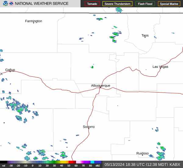
Radar & Satellite Image

Hourly Weather Forecast