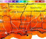
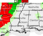
Storms and Heavy Rainfall in the Plains and Southern Appalachians; Hazardous Heat in the South and Southeast
Severe thunderstorms with heavy rainfall will be possible across the southern Appalachians through this evening. Thunderstorms are also expected from the northern/central Plains into portions of the Midwest through Tuesday, and severe storms may produce large hail and damaging wind gusts. Meanwhile, hazardous heat persists across the South and Southeast. Read More >

Hazardous Weather Conditions
Huntsville, Huntsville International / Jones Field (KHSV)
Lat: 34.64°NLon: 86.79°WElev: 630ft.
Partly Cloudy
91°F
33°C
| Humidity | 61% |
| Wind Speed | NW 5 mph |
| Barometer | 29.92 in (1012.3 mb) |
| Dewpoint | 76°F (24°C) |
| Visibility | 10.00 mi |
| Heat Index | 103°F (39°C) |
| Last update | 17 Aug 5:53 pm CDT |
5 Miles NE Laceys Spring AL
NOW: Multiple hazards in effect
Click HERE for Details
Tonight
Low: 74 °F
Chance
T-storms then
Partly CloudyTuesday

High: 92 °F
Sunny
Tuesday Night

Low: 68 °F
Mostly Clear
Wednesday

High: 97 °F
Hot
Wednesday Night
Low: 74 °F
Mostly Clear
then Slight
Chance
ShowersThursday

High: 94 °F
Slight Chance
T-stormsThursday Night
Low: 73 °F
Slight Chance
T-storms then
Chance
ShowersFriday

High: 92 °F
Chance
T-storms
Detailed Forecast
Additional Forecasts and Information
 Forecast Area
ABOUT THIS FORECAST
34.54°N 86.55°W (Elev. 554 ft)


Additional Resources
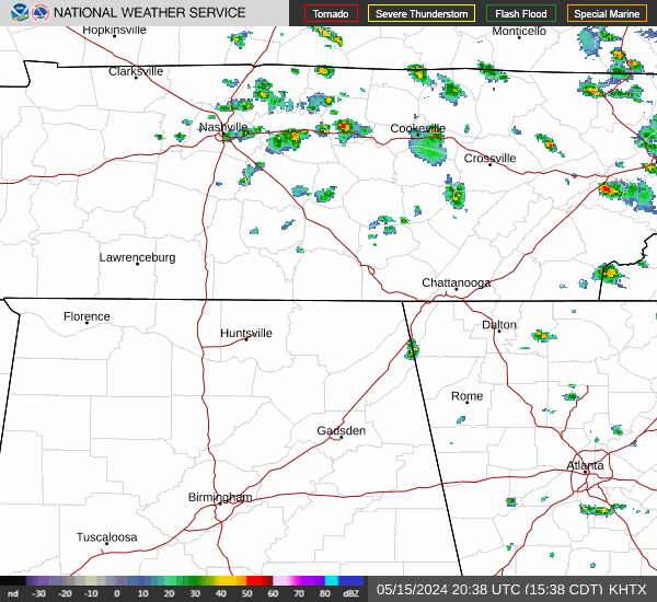
Radar & Satellite Image

Hourly Weather Forecast