



Showers and Storms in the East; Dangerously Hot and Dry in the West
Scattered showers and storms are expected across portions of the Central and Eastern U.S. through the end of the week. Meanwhile, dangerous heat will intensify across the Desert Southwest and Intermountain West. Hot, dry weather and increasing winds will allow elevated wildfire conditions to return to the northern Intermountain West, where air quality issues persist from ongoing fires. Read More >

Taylor Airport (KTYL)
Lat: 34.45272°NLon: 110.11503°WElev: 5823.0ft.thunder
95°F
35°C
| Humidity | 14% |
| Wind Speed | NW 5 MPH |
| Barometer | 30.23 in (1023.71 mb) |
| Dewpoint | 40°F (4°C) |
| Visibility | 10.00 mi |
| Heat Index | 91°F (33°C) |
| Last update | 07 Aug 03:35 PM MST |
13 Miles WNW Snowflake AZ
This Afternoon

High: 92 °F
Slight Chance
T-stormsTonight
Low: 63 °F
Slight Chance
T-storms then
Mostly ClearSaturday
High: 91 °F
Sunny then
Slight Chance
T-stormsSaturday Night
Low: 64 °F
Slight Chance
T-storms then
Slight Chance
ShowersSunday
High: 92 °F
Mostly Sunny
then Chance
T-stormsSunday Night
Low: 63 °F
Chance
T-storms then
Partly CloudyMonday
High: 89 °F
Mostly Sunny
then Chance
T-stormsMonday Night
Low: 63 °F
Chance
T-storms then
Slight Chance
ShowersTuesday
High: 88 °F
Partly Sunny
then Chance
T-storms
Detailed Forecast
Additional Forecasts and Information
 Forecast Area
ABOUT THIS FORECAST
34.58°N 110.29°W (Elev. 5902 ft)


Additional Resources
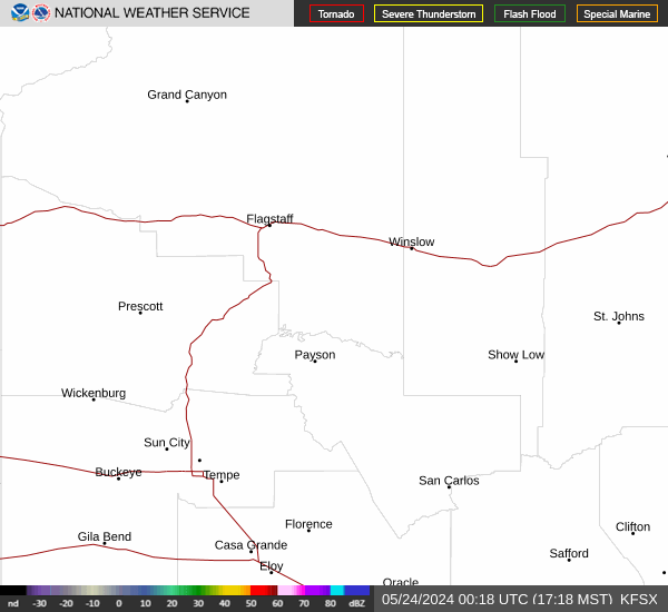
Radar & Satellite Image

Hourly Weather Forecast


