Hazardous Weather Conditions
Current conditions at
Daggett, Barstow-Daggett Airport (KDAG)
Lat: 34.85361°NLon: 116.78667°WElev: 1926.0ft.
Clear
73°F
23°C
| Humidity | 27% |
| Wind Speed | WNW 12 MPH |
| Barometer | 29.72 in (1006.44 mb) |
| Dewpoint | 37°F (3°C) |
| Visibility | 10.00 mi |
| Last update | 09 Oct 11:55 PM PDT |
Extended Forecast for
14 Miles W Barstow CA
Flood Watch October 10, 05:00pm until October 12, 05:00am
Wind Advisory October 11, 02:00am until October 12, 05:00am
Overnight

Low: 68 °F
Mostly Cloudy
Saturday

High: 83 °F
Mostly Cloudy
Saturday Night
Low: 58 °F
Isolated
Showers then
Showers
LikelySunday
High: 68 °F
Heavy Rain
and Breezy
then
Scattered
Showers and
WindySunday Night
Low: 48 °F
Patchy
Blowing Dust
and Breezy
then Partly
CloudyColumbus Day

High: 62 °F
Scattered
Showers and
BreezyMonday Night
Low: 43 °F
Isolated
Showers then
Partly CloudyTuesday

High: 64 °F
Sunny
Tuesday Night

Low: 45 °F
Mostly Clear
Detailed Forecast
Overnight
Mostly clear early, then becoming mostly cloudy, with a steady temperature around 68. West southwest wind around 9 mph.
Saturday
Mostly cloudy, with a high near 83. Southwest wind 9 to 14 mph increasing to 15 to 20 mph in the afternoon. Winds could gust as high as 30 mph.
Saturday Night
Scattered showers before 2am, then scattered showers and thunderstorms between 2am and 4am, then showers likely and possibly a thunderstorm after 4am. Cloudy, with a low around 58. Southwest wind 11 to 16 mph becoming west 5 to 10 mph after midnight. Winds could gust as high as 23 mph. Chance of precipitation is 60%.
Sunday
Showers and possibly a thunderstorm before 1pm, then isolated showers between 1pm and 2pm. Some of the storms could produce heavy rainfall. Patchy blowing dust after noon. High near 68. Windy, with a north wind 11 to 21 mph becoming southwest 27 to 37 mph. Winds could gust as high as 48 mph. Chance of precipitation is 90%.
Sunday Night
Patchy blowing dust before 8pm. Partly cloudy, with a low around 48. Breezy, with a southwest wind 21 to 26 mph decreasing to 10 to 15 mph after midnight. Winds could gust as high as 38 mph.
Columbus Day
Scattered showers. Partly sunny, with a high near 62. Breezy. Chance of precipitation is 50%.
Monday Night
Isolated showers before 11pm. Partly cloudy, with a low around 43. Chance of precipitation is 20%.
Tuesday
Sunny, with a high near 64.
Tuesday Night
Mostly clear, with a low around 45.
Wednesday
Sunny, with a high near 70.
Wednesday Night
Clear, with a low around 48.
Thursday
Sunny, with a high near 74.
Thursday Night
Clear, with a low around 51.
Friday
Sunny, with a high near 77.
Additional Forecasts and Information
Basemap Options
Click map to change the forecast location
Loading map...
 Forecast Area
ABOUT THIS FORECAST
Point Forecast:
14 Miles W Barstow CA
34.82°N 117.02°W (Elev. 2940 ft)
34.82°N 117.02°W (Elev. 2940 ft)
11:58 pm PDT Oct 9, 2026
3am PDT Oct 10, 2026-6pm PDT Oct 16, 2026


Additional Resources
Radar & Satellite Image
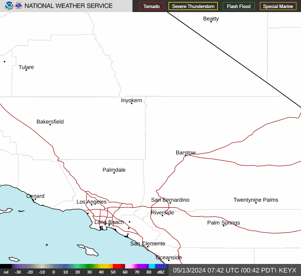

Hourly Weather Forecast