



Heavy Rain and Flash Flooding in the West; Heat Expands in the Central U.S.
Monsoonal moisture will produce showers and thunderstorms with heavy rain over parts of the Southwest, Great Basin, and Central Rockies through Monday. Flash flooding is possible, especially in and around burn scars and in areas of steep terrain. Heat will persist across the Central U.S. early this week, spreading into the Ohio Valley and Mid-Atlantic later this week. Read More >

Hazardous Weather Conditions
Sedona Airport (KSEZ)
Lat: 34.85°NLon: 111.78333°WElev: 4826.0ft.
Partly Cloudy
90°F
32°C
| Humidity | 31% |
| Wind Speed | SSW 12 MPH |
| Barometer | 30.1 in (1019.3 mb) |
| Dewpoint | 56°F (13°C) |
| Visibility | 10.00 mi |
| Heat Index | 88°F (31°C) |
| Last update | 30 Aug 03:15 PM MST |
4 Miles ENE Sedona AZ
NOW until 12:00am Tue

Flood Watch
This Afternoon

High: 86 °F
Chance
T-stormsTonight

Low: 68 °F
Showers
LikelyMonday

High: 81 °F
T-storms
LikelyMonday Night

Low: 65 °F
Chance
T-stormsTuesday

High: 85 °F
Slight Chance
T-stormsTuesday Night

Low: 68 °F
Mostly Clear
Wednesday

High: 86 °F
Slight Chance
T-stormsWednesday Night
Low: 67 °F
Mostly Clear
Detailed Forecast
Additional Forecasts and Information
 Forecast Area
ABOUT THIS FORECAST
34.87°N 111.74°W (Elev. 4606 ft)


Additional Resources
Radar & Satellite Image
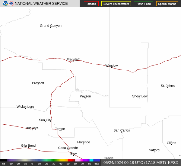

Hourly Weather Forecast


