



Heavy Rainfall and Severe Thunderstorm Threats; Heat Risk Expands; Monitoring the Tropics
Flash flooding risks continue for portions of the Four Corners and Great Basin through today. Severe thunderstorms are outlooked from the eastern Great Lakes, southern New England into the mid-Atlantic through Tuesday. Heat risk increases and expands across the center of the nation and across the Ohio Valley and mid-Atlantic this week. Continue to closely monitor tropical development in the Gulf. Read More >

Hazardous Weather Conditions
OAK CREEK (QOCA3)
Lat: 34.94686°NLon: 111.75444°WElev: 4804.0ft.NA
60°F
16°C
| Humidity | 85% |
| Wind Speed | N 2 MPH |
| Barometer | NA |
| Dewpoint | 55°F (13°C) |
| Visibility | NA |
| Last update | 31 Aug 05:03 AM MST |
11 Miles NW Sedona AZ
NOW until 12:00am Tue

Flood Watch
Overnight

Low: 66 °F
Chance
ShowersMonday

High: 75 °F
T-storms
LikelyMonday Night
Low: 61 °F
Chance
T-storms then
Slight Chance
T-stormsTuesday

High: 77 °F
Slight Chance
T-stormsTuesday Night

Low: 63 °F
Mostly Clear
Wednesday
High: 79 °F
Slight Chance
T-stormsWednesday Night
Low: 63 °F
Mostly Clear
Thursday

High: 80 °F
Slight Chance
T-storms
Detailed Forecast
Additional Forecasts and Information
 Forecast Area
ABOUT THIS FORECAST
34.97°N 111.95°W (Elev. 5587 ft)


Additional Resources
Radar & Satellite Image
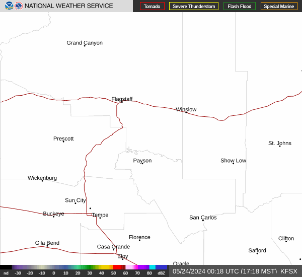

Hourly Weather Forecast


