



Hazardous Weather Conditions
Current conditions at
Santa Maria Public Airport/Capt G Allan Hancock Field (KSMX)
Lat: 34.89408°NLon: 120.45212°WElev: 243.0ft.
Partly Cloudy
68°F
20°C
| Humidity | 72% |
| Wind Speed | W 3 MPH |
| Barometer | 29.91 in (1012.87 mb) |
| Dewpoint | 59°F (15°C) |
| Visibility | 8.00 mi |
| Last update | 27 Aug 04:20 PM PDT |
Extended Forecast for
5 Miles S Arroyo Grande CA
Heat Advisory August 27, 04:44pm until August 28, 08:00pm
Red Flag Warning August 28, 05:00am until August 28, 03:00pm
NOW until 8:00pm Fri

Heat Advisory
This Afternoon

High: 75 °F
Slight Chance
T-stormsTonight

Low: 62 °F
Slight Chance
T-stormsFriday

High: 76 °F
Chance
T-stormsFriday Night
Low: 59 °F
Slight Chance
Showers and
Patchy Fog
then Patchy
FogSaturday
High: 69 °F
Patchy Fog
then SunnySaturday Night

Low: 54 °F
Patchy Fog
Sunday
High: 63 °F
Patchy Fog
then SunnySunday Night

Low: 55 °F
Partly Cloudy
Detailed Forecast
This Afternoon
A 20 percent chance of showers and thunderstorms. Mostly cloudy, with a high near 75. Northwest wind around 10 mph.
Tonight
A 20 percent chance of showers and thunderstorms. Mostly cloudy, with a low around 62. North northwest wind 5 to 10 mph.
Friday
A 30 percent chance of showers and thunderstorms. Cloudy, then gradually becoming mostly sunny, with a high near 76. Light north northwest wind becoming west northwest 10 to 15 mph in the morning. New rainfall amounts of less than a tenth of an inch, except higher amounts possible in thunderstorms.
Friday Night
A 20 percent chance of showers before 11pm. Patchy fog after 11pm. Otherwise, increasing clouds, with a low around 59. Northwest wind 5 to 15 mph, with gusts as high as 20 mph.
Saturday
Patchy fog before 11am. Otherwise, mostly sunny, with a high near 69. Light west northwest wind increasing to 10 to 15 mph in the afternoon. Winds could gust as high as 20 mph.
Saturday Night
Patchy fog after 11pm. Otherwise, mostly cloudy, with a low around 54.
Sunday
Patchy fog before 11am. Otherwise, mostly sunny, with a high near 63.
Sunday Night
Partly cloudy, with a low around 55.
Monday
Partly sunny, with a high near 63.
Monday Night
Partly cloudy, with a low around 54.
Tuesday
A slight chance of showers. Mostly sunny, with a high near 64.
Tuesday Night
A slight chance of showers. Partly cloudy, with a low around 56.
Wednesday
A slight chance of showers. Partly sunny, with a high near 66.
Additional Forecasts and Information
Basemap Options
Click map to change the forecast location
Loading map...
 Forecast Area
ABOUT THIS FORECAST
Point Forecast:
5 Miles S Arroyo Grande CA
35.05°N 120.58°W (Elev. 131 ft)
35.05°N 120.58°W (Elev. 131 ft)
1:22 pm PDT Aug 27, 2026
4pm PDT Aug 27, 2026-6pm PDT Sep 2, 2026


Additional Resources
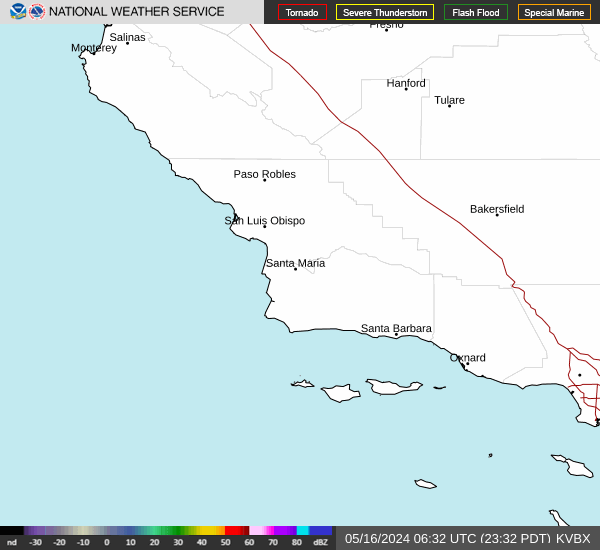
Radar & Satellite Image

Hourly Weather Forecast


