Hazardous Weather Conditions
Current conditions at
Poteau, Robert S Kerr Airport (KRKR)
Lat: 35.02°NLon: 94.62°WElev: 453ft.
Fair
79°F
26°C
| Humidity | NA |
| Wind Speed | W 8 mph |
| Barometer | 30.00 in |
| Dewpoint | N/A |
| Visibility | 10.00 mi |
| Last update | 11 Nov 12:55 pm CST |
Extended Forecast for
2 Miles WSW McCurtain OK
Veterans Day

High: 73 °F
Sunny
Tonight

Low: 44 °F
Clear
Thursday
High: 64 °F
Sunny
Thursday Night
Low: 35 °F
Clear then
Patchy FrostFriday
High: 56 °F
Patchy Frost
then SunnyFriday Night

Low: 33 °F
Mostly Clear
then Areas
FrostSaturday

High: 57 °F
Areas Frost
then Partly
SunnySaturday Night
Low: 39 °F
Mostly Cloudy
then Chance
ShowersSunday

High: 51 °F
Showers
Likely
Detailed Forecast
Veterans Day
Sunny, with a high near 73. Northwest wind 10 to 15 mph, with gusts as high as 20 mph.
Tonight
Clear, with a low around 44. Northwest wind around 5 mph becoming calm after midnight.
Thursday
Sunny, with a high near 64. Light west wind becoming north 10 to 15 mph in the morning. Winds could gust as high as 20 mph.
Thursday Night
Patchy frost after 3am. Otherwise, clear, with a low around 35. North wind around 5 mph becoming calm after midnight.
Friday
Patchy frost before 9am. Otherwise, sunny, with a high near 56. Calm wind becoming north around 5 mph in the morning.
Friday Night
Areas of frost after midnight. Otherwise, partly cloudy, with a low around 33. Northeast wind around 5 mph becoming calm.
Saturday
Areas of frost before 8am. Otherwise, mostly sunny, with a high near 57. Southeast wind 5 to 10 mph, with gusts as high as 20 mph.
Saturday Night
A 30 percent chance of showers after midnight. Mostly cloudy, with a low around 39. East wind around 10 mph, with gusts as high as 20 mph.
Sunday
Showers likely. Mostly cloudy, with a high near 51. East wind around 15 mph, with gusts as high as 25 mph. Chance of precipitation is 70%.
Sunday Night
A 40 percent chance of showers before midnight. Mostly cloudy, with a low around 40. East wind 10 to 15 mph decreasing to 5 to 10 mph after midnight. Winds could gust as high as 30 mph.
Monday
Mostly sunny, with a high near 54. East wind around 5 mph.
Monday Night
Mostly clear, with a low around 36. Northeast wind around 5 mph becoming calm in the evening.
Tuesday
Sunny, with a high near 58. Calm wind becoming east around 5 mph in the afternoon.
Additional Forecasts and Information
Basemap Options
Click map to change the forecast location
Loading map...
 Forecast Area
ABOUT THIS FORECAST
Point Forecast:
2 Miles WSW McCurtain OK
35.14°N 95°W
35.14°N 95°W
12:50 pm CST Nov 11, 2026
1pm CST Nov 11, 2026-6pm CST Nov 17, 2026


Additional Resources
Radar & Satellite Image
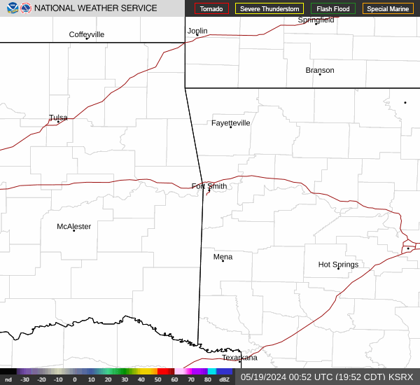

Hourly Weather Forecast